Earthquake 63 km SE of Denali National Park, Alaska
Mon, 26 Jan 2026 09:09:48 GMT
Time1 day ago
Location
63.1170, -150.8750
Depth
127.5 KM
Event Summary
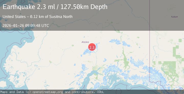
A 2.3 magnitude earthquake struck on 63 km SE of Denali National Park, Alaska, at Mon, 26 Jan 2026 09:09:48 GMT. Depth: 127.5km. Reviewed by USGS seismologists, this minor quake occurred at a magnitude type of ml.
Magnitude
2.3
ml
Source
USGS
Intensity
-
Agency Reports
1 Sources| Source | Magnitude | Depth | Time |
|---|---|---|---|
| USGSPrimary | 2.3 | 128 km | 1 day ago |
Earthquake Details
AutomaticEvent IDusgs_ak2026bupjuv
Tsunami PotentialNo
Magnitude Typeml
Nearest Places
- West Fork Traleika Glacier1.2 km
- Karstens Ridge2.0 km
- Mount Koven2.1 km
- Karstens Col2.2 km
- Traleika Icefall2.7 km
Comments
Join the discussion about this event.
Latest Earthquakes
1.4Mag
41 km NW of Toyah, Texas
Time7 minutes ago
Depth2.74 km
SourceUSGS (Automatic)
2.0Mag
Sumbawa Region, Indonesia
Time11 minutes ago
Depth107.77 km
SourceBMKG (Automatic)
1.7Mag
26 km WNW of Ludlow, CA
Time15 minutes ago
Depth1.36 km
SourceUSGS (Automatic)
3.1Mag
HAITI REGION
Time18 minutes ago
Depth7.00 km
SourceAYIT (Automatic)
2.6Mag
PUERTO RICO
Time24 minutes ago
Depth16.10 km
SourcePR (Automatic)
Nearby Earthquakes
1.4Mag
69 km SE of Denali National Park, Alaska
Time2 days ago
Depth119.50 km
SourceUSGS (Automatic)
3.0Mag
CENTRAL ALASKA
Time1 day ago
Depth134.50 km
SourceAK (Automatic)
1.7Mag
50 km SSE of Denali National Park, Alaska
Time2 days ago
Depth0.90 km
SourceUSGS (Automatic)
1.6Mag
50 km SSE of Denali National Park, Alaska
Time4 days ago
Depth5.00 km
SourceUSGS (Automatic)
4.5Mag
CENTRAL ALASKA
Time6 days ago
Depth5.00 km
SourceAK (Automatic)