Earthquake 29 km SE of Minto, Alaska
Mon, 26 Jan 2026 10:38:12 GMT
Time1 day ago
Location
64.9530, -148.9240
Depth
23.2 KM
Event Summary
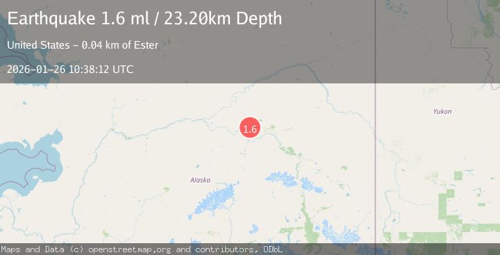
A 1.6 magnitude earthquake struck on 29 km SE of Minto, Alaska, at Mon, 26 Jan 2026 10:38:12 GMT. Depth: 23.2km. Reviewed by USGS seismologists, this minor quake occurred at a magnitude type of ml.
Magnitude
1.6
ml
Source
USGS
Intensity
-
Agency Reports
1 Sources| Source | Magnitude | Depth | Time |
|---|---|---|---|
| USGSPrimary | 1.6 | 23 km | 1 day ago |
Earthquake Details
AutomaticEvent IDusgs_ak2026bushzh
Tsunami PotentialNo
Magnitude Typeml
Nearest Places
- Goldstream Creek3.8 km
- Indian Cemetery4.8 km
- Beaver Dam Lake6.2 km
- Tanana Hills6.3 km
- Grassy Lake6.6 km
Comments
Join the discussion about this event.
Latest Earthquakes
2.6Mag
Minahassa Peninsula, Sulawesi
Time17 hours ago
Depth118.00 km
SourceBMKG (Automatic)
2.8Mag
South of Bali, Indonesia
Time17 hours ago
Depth10.00 km
SourceBMKG (Automatic)
1.7Mag
31 km SE of Denali National Park, Alaska
Time17 hours ago
Depth0.60 km
SourceUSGS (Automatic)
2.2Mag
WESTERN TURKEY
Time17 hours ago
Depth14.90 km
SourceKOERI (Automatic)
2.2Mag
13 km NW of Ferry, Alaska
Time17 hours ago
Depth139.50 km
SourceUSGS (Automatic)
Nearby Earthquakes
0.6Mag
31 km ESE of Minto, Alaska
Time1 day ago
Depth9.80 km
SourceUSGS (Automatic)
0.7Mag
28 km WNW of Ester, Alaska
Time3 days ago
Depth10.80 km
SourceUSGS (Automatic)
1.7Mag
18 km WSW of Ester, Alaska
Time2 days ago
Depth6.50 km
SourceUSGS (Automatic)
2.2Mag
8 km N of Four Mile Road, Alaska
Time1 day ago
Depth19.90 km
SourceUSGS (Automatic)
1.0Mag
28 km SSW of Livengood, Alaska
Time3 days ago
Depth5.00 km
SourceUSGS (Automatic)