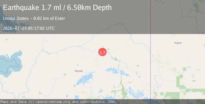
Earthquake 18 km WSW of Ester, Alaska
Sun, 25 Jan 2026 05:17:02 GMT
Time2 days ago
Location
64.7880, -148.3780
Depth
6.5 KM
Event Summary
A 1.7 magnitude earthquake struck on 18 km WSW of Ester, Alaska, at Sun, 25 Jan 2026 05:17:02 GMT. Depth: 6.5km. Reviewed by USGS seismologists, this minor quake occurred at a magnitude type of ml.
Magnitude
1.7
ml
Source
USGS
Intensity
-
Agency Reports
1 Sources| Source | Magnitude | Depth | Time |
|---|---|---|---|
| USGSPrimary | 1.7 | 7 km | 2 days ago |
Earthquake Details
AutomaticEvent IDusgs_ak2026bslyij
Tsunami PotentialNo
Magnitude Typeml
Nearest Places
- Chickaloon4.3 km
- Ohio Creek5.0 km
- Muskeg5.3 km
- Pedro (historical)5.5 km
- Bonanza Creek Experimental Forest5.9 km
Comments
Join the discussion about this event.
Latest Earthquakes
2.4Mag
NEVADA
Time4 minutes ago
Depth16.00 km
SourceNN (Automatic)
3.1Mag
Northern Molucca Sea
Time6 minutes ago
Depth31.63 km
SourceBMKG (Automatic)
2.6Mag
Northern Sumatra, Indonesia
Time11 minutes ago
Depth0.60 km
SourceBMKG (Automatic)
2.1Mag
SOUTHERN TEXAS
Time11 minutes ago
Depth0.00 km
SourceTX (Automatic)
3.8Mag
ATACAMA, CHILE
Time18 minutes ago
Depth98.00 km
SourceCSN (Automatic)
Nearby Earthquakes
0.7Mag
28 km WNW of Ester, Alaska
Time3 days ago
Depth10.80 km
SourceUSGS (Automatic)
0.7Mag
22 km NE of Four Mile Road, Alaska
Time2 hours ago
Depth28.90 km
SourceUSGS (Automatic)
0.6Mag
31 km ESE of Minto, Alaska
Time1 day ago
Depth9.80 km
SourceUSGS (Automatic)
1.6Mag
29 km SE of Minto, Alaska
Time1 day ago
Depth23.20 km
SourceUSGS (Automatic)
2.2Mag
8 km N of Four Mile Road, Alaska
Time1 day ago
Depth19.90 km
SourceUSGS (Automatic)