Earthquake 68 km E of McCarthy, Alaska
Mon, 26 Jan 2026 15:40:01 GMT
Time20 hours ago
Location
61.3510, -141.6500
Depth
5.0 KM
Event Summary
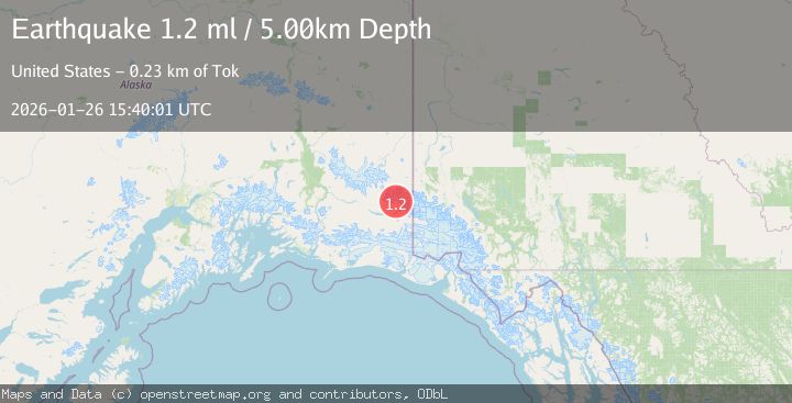
A 1.2 magnitude earthquake struck on 68 km E of McCarthy, Alaska, at Mon, 26 Jan 2026 15:40:01 GMT. Depth: 5km. Reviewed by USGS seismologists, this minor quake occurred at a magnitude type of ml.
Magnitude
1.2
ml
Source
USGS
Intensity
-
Agency Reports
1 Sources| Source | Magnitude | Depth | Time |
|---|---|---|---|
| USGSPrimary | 1.2 | 5 km | 20 hours ago |
Earthquake Details
AutomaticEvent IDusgs_ak2026bvcibc
Tsunami PotentialNo
Magnitude Typeml
Nearest Places
- Mount Bona6.5 km
- University Peak7.6 km
- Mount Churchill8.3 km
- Aello Peak13.3 km
- Ocypete Peak15.6 km
Comments
Join the discussion about this event.
Latest Earthquakes
4.4Mag
Sulawesi, Indonesia
Time15 hours ago
Depth5.00 km
SourceBMKG (Automatic)
2.6Mag
Minahassa Peninsula, Sulawesi
Time15 hours ago
Depth118.00 km
SourceBMKG (Automatic)
2.8Mag
South of Bali, Indonesia
Time15 hours ago
Depth10.00 km
SourceBMKG (Automatic)
1.7Mag
31 km SE of Denali National Park, Alaska
Time15 hours ago
Depth0.60 km
SourceUSGS (Automatic)
2.2Mag
WESTERN TURKEY
Time15 hours ago
Depth14.90 km
SourceKOERI (Automatic)
Nearby Earthquakes
1.5Mag
83 km ENE of McCarthy, Alaska
Time2 days ago
Depth4.30 km
SourceUSGS (Automatic)
0.7Mag
100 km SSE of McCarthy, Alaska
Time4 days ago
Depth37.40 km
SourceUSGS (Automatic)
3.0Mag
CENTRAL ALASKA
Time1 day ago
Depth5.00 km
SourceAK (Automatic)
1.0Mag
127 km NW of Yakutat, Alaska
Time23 hours ago
Depth19.90 km
SourceUSGS (Automatic)
2.5Mag
134 km N of Yakutat, Alaska
Time1 week ago
Depth8.60 km
SourceUSGS