Earthquake 20 km WSW of Point MacKenzie, Alaska
Tue, 27 Jan 2026 11:10:12 GMT
Time3 hours ago
Location
61.2960, -150.3380
Depth
51.4 KM
Event Summary
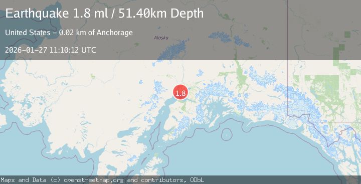
A 1.8 magnitude earthquake struck on 20 km WSW of Point MacKenzie, Alaska, at Tue, 27 Jan 2026 11:10:12 GMT. Depth: 51.4km. Reviewed by USGS seismologists, this minor quake occurred at a magnitude type of ml.
Magnitude
1.8
ml
Source
USGS
Intensity
-
Agency Reports
1 Sources| Source | Magnitude | Depth | Time |
|---|---|---|---|
| USGSPrimary | 1.8 | 51 km | 3 hours ago |
Earthquake Details
AutomaticEvent IDusgs_ak2026bwpckw
Tsunami PotentialNo
Magnitude Typeml
Nearest Places
- Maguire Creek2.8 km
- Susitna Flats3.9 km
- Susitna Flats5.0 km
- Tsaltastnu Kaq'5.6 km
- Little Susitna River5.7 km
Comments
Join the discussion about this event.
Latest Earthquakes
1.4Mag
41 km NW of Toyah, Texas
Time4 minutes ago
Depth2.74 km
SourceUSGS (Automatic)
2.0Mag
Sumbawa Region, Indonesia
Time9 minutes ago
Depth107.77 km
SourceBMKG (Automatic)
1.7Mag
26 km WNW of Ludlow, CA
Time13 minutes ago
Depth1.36 km
SourceUSGS (Automatic)
3.1Mag
HAITI REGION
Time15 minutes ago
Depth7.00 km
SourceAYIT (Automatic)
2.6Mag
PUERTO RICO
Time21 minutes ago
Depth16.10 km
SourcePR (Automatic)
Nearby Earthquakes
2.4Mag
7 km NW of Point MacKenzie, Alaska
Time1 day ago
Depth32.70 km
SourceUSGS (Automatic)
3.6Mag
SOUTHERN ALASKA
Time23 hours ago
Depth13.80 km
SourceAK (Automatic)
1.4Mag
2 km SW of Big Lake, Alaska
Time3 days ago
Depth38.00 km
SourceUSGS (Automatic)
2.5Mag
5 km SE of Elmendorf Air Force Base, Alaska
Time3 days ago
Depth39.60 km
SourceUSGS (Automatic)
1.7Mag
3 km SW of Houston, Alaska
Time5 days ago
Depth58.40 km
SourceUSGS (Automatic)