Earthquake 30 km NNE of Paxson, Alaska
Fri, 23 Jan 2026 06:35:15 GMT
Time4 days ago
Location
63.3490, -145.4000
Depth
0.4 KM
Event Summary
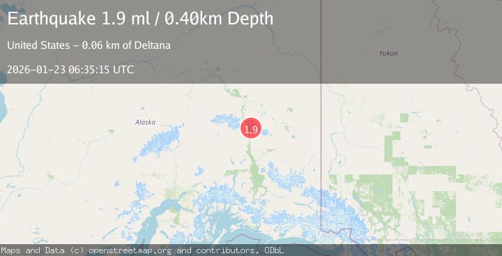
A 1.9 magnitude earthquake struck on 30 km NNE of Paxson, Alaska, at Fri, 23 Jan 2026 06:35:15 GMT. Depth: 0.4km. Reviewed by USGS seismologists, this minor quake occurred at a magnitude type of ml.
Magnitude
1.9
ml
Source
USGS
Intensity
-
Agency Reports
1 Sources| Source | Magnitude | Depth | Time |
|---|---|---|---|
| USGSPrimary | 1.9 | 0 km | 4 days ago |
Earthquake Details
AutomaticEvent IDusgs_ak2026boxbza
Tsunami PotentialNo
Magnitude Typeml
Nearest Places
- Snow White1.7 km
- M'Ladies Mountain3.1 km
- Canwell Glacier4.0 km
- Eel Glacier4.3 km
- Sight Peak4.5 km
Comments
Join the discussion about this event.
Latest Earthquakes
3.7Mag
Java, Indonesia
Time8 minutes ago
Depth26.88 km
SourceBMKG (Automatic)
1.7Mag
20 km ENE of Arvin, CA
Time9 minutes ago
Depth5.64 km
SourceUSGS (Automatic)
2.3Mag
57 km E of Pedro Bay, Alaska
Time15 minutes ago
Depth120.40 km
SourceUSGS (Automatic)
2.3Mag
Bali Sea
Time16 minutes ago
Depth13.31 km
SourceBMKG (Automatic)
1.9Mag
97 km S of Kokhanok, Alaska
Time20 minutes ago
Depth5.00 km
SourceUSGS (Automatic)
Nearby Earthquakes
2.0Mag
34 km NE of Paxson, Alaska
Time48 minutes ago
Depth11.60 km
SourceUSGS (Automatic)
2.1Mag
39 km SSW of Dry Creek, Alaska
Time1 day ago
Depth5.00 km
SourceUSGS (Automatic)
1.5Mag
85 km ESE of Cantwell, Alaska
Time2 days ago
Depth65.10 km
SourceUSGS (Automatic)
1.4Mag
70 km ESE of Cantwell, Alaska
Time5 days ago
Depth9.30 km
SourceUSGS (Automatic)
1.6Mag
59 km ESE of Denali Park, Alaska
Time5 days ago
Depth0.60 km
SourceUSGS (Automatic)