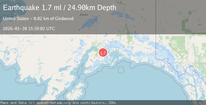
Earthquake 17 km SSE of Girdwood, Alaska
Fri, 30 Jan 2026 15:39:02 GMT
Time1 hour ago
Location
60.7920, -149.0880
Depth
24.9 KM
Event Summary
A 1.7 magnitude earthquake struck on 17 km SSE of Girdwood, Alaska, at Fri, 30 Jan 2026 15:39:02 GMT. Depth: 24.9km. Reviewed by USGS seismologists, this minor quake occurred at a magnitude type of ml.
Magnitude
1.7
ml
Source
USGS
Intensity
-
Agency Reports
1 Sources| Source | Magnitude | Depth | Time |
|---|---|---|---|
| USGSPrimary | 1.7 | 25 km | 1 hour ago |
Earthquake Details
AutomaticEvent IDusgs_ak2026cclesp
Tsunami PotentialNo
Magnitude Typeml
Nearest Places
- Turnagain Pass Winter Sports Area3.6 km
- Wolverine Creek3.7 km
- Kickstep Mountain4.3 km
- Skookum Creek5.0 km
- Turnagain Pass5.4 km
Comments
Join the discussion about this event.
Latest Earthquakes
2.1Mag
West Papua Region, Indonesia
Time12 minutes ago
Depth22.29 km
SourceBMKG (Automatic)
3.1Mag
Java, Indonesia
Time13 minutes ago
Depth38.79 km
SourceBMKG (Automatic)
2.4Mag
ISLAND OF HAWAII, HAWAII
Time14 minutes ago
Depth27.70 km
SourceHV (Automatic)
1.1Mag
3 km NW of Julian, CA
Time20 minutes ago
Depth6.47 km
SourceUSGS (Automatic)
2.3Mag
Minahassa Peninsula, Sulawesi
Time21 minutes ago
Depth9.51 km
SourceBMKG (Automatic)
Nearby Earthquakes
2.6Mag
6 km SSW of Girdwood, Alaska
Time5 days ago
Depth24.40 km
SourceUSGS (Automatic)
1.3Mag
7 km NW of Girdwood, Alaska
Time6 days ago
Depth34.60 km
SourceUSGS (Automatic)
1.1Mag
9 km NE of Girdwood, Alaska
Time5 days ago
Depth31.40 km
SourceUSGS (Automatic)
1.8Mag
17 km NE of Girdwood, Alaska
Time1 day ago
Depth5.00 km
SourceUSGS (Automatic)
2.5Mag
5 km SE of Elmendorf Air Force Base, Alaska
Time1 week ago
Depth39.60 km
SourceUSGS (Automatic)