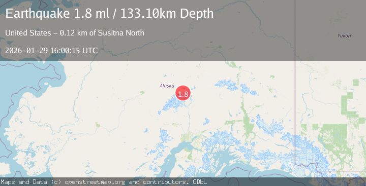
Earthquake 64 km SE of Denali National Park, Alaska
Thu, 29 Jan 2026 16:00:15 GMT
Time5 hours ago
Location
63.2170, -150.6460
Depth
133.1 KM
Event Summary
A 1.8 magnitude earthquake struck on 64 km SE of Denali National Park, Alaska, at Thu, 29 Jan 2026 16:00:15 GMT. Depth: 133.1km. Reviewed by USGS seismologists, this minor quake occurred at a magnitude type of ml.
Magnitude
1.8
ml
Source
USGS
Intensity
-
Agency Reports
1 Sources| Source | Magnitude | Depth | Time |
|---|---|---|---|
| USGSPrimary | 1.8 | 133 km | 5 hours ago |
Earthquake Details
ConfirmedEvent IDusgs_ak2026caqeda
Tsunami PotentialNo
Magnitude Typeml
Nearest Places
- Oastler Pass3.1 km
- Mount Brooks3.3 km
- Oastler Mountain3.8 km
- McGonagall Pass4.6 km
- McGonagall Mountain5.2 km
Comments
Join the discussion about this event.
Latest Earthquakes
1.5Mag
19 km NNE of Indio, CA
Time26 minutes ago
Depth5.02 km
SourceUSGS (Automatic)
3.4Mag
Southern Sumatra, Indonesia
Time34 minutes ago
Depth48.59 km
SourceBMKG (Automatic)
3.2Mag
COQUIMBO, CHILE
Time47 minutes ago
Depth16.10 km
SourceCSN (Automatic)
3.9Mag
Tanimbar Islands Region, Indonesia
Time55 minutes ago
Depth10.00 km
SourceBMKG (Automatic)
1.2Mag
WESTERN TURKEY
Time1 hour ago
Depth7.00 km
SourceAFAD (Automatic)
Nearby Earthquakes
3.0Mag
CENTRAL ALASKA
Time3 days ago
Depth134.50 km
SourceAK (Automatic)
1.4Mag
69 km SE of Denali National Park, Alaska
Time5 days ago
Depth119.50 km
SourceUSGS (Automatic)
2.3Mag
75 km NNE of Petersville, Alaska
Time15 hours ago
Depth113.80 km
SourceUSGS (Automatic)
2.3Mag
63 km SE of Denali National Park, Alaska
Time3 days ago
Depth127.50 km
SourceUSGS (Automatic)
1.6Mag
71 km WSW of Cantwell, Alaska
Time4 days ago
Depth98.90 km
SourceUSGS (Automatic)