Earthquake 96 km E of McCarthy, Alaska
Sun, 01 Feb 2026 11:20:56 GMT
Time1 day ago
Location
61.4880, -141.1130
Depth
5.0 KM
Event Summary
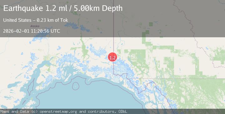
A 1.2 magnitude earthquake struck on 96 km E of McCarthy, Alaska, at Sun, 01 Feb 2026 11:20:56 GMT. Depth: 5km. Reviewed by USGS seismologists, this minor quake occurred at a magnitude type of ml.
Magnitude
1.2
ml
Source
USGS
Intensity
-
Agency Reports
1 Sources| Source | Magnitude | Depth | Time |
|---|---|---|---|
| USGSPrimary | 1.2 | 5 km | 1 day ago |
Earthquake Details
AutomaticEvent IDusgs_ak2026cfucbq
Tsunami PotentialNo
Magnitude Typeml
Nearest Places
- Mount Natazhat3.8 km
- Mount Riggs4.9 km
- Natazhat Glacier6.7 km
- Mount Lambart8.2 km
- Mount Brooke8.3 km
Comments
Join the discussion about this event.
Latest Earthquakes
2.1Mag
Sumbawa Region, Indonesia
Time3 hours ago
Depth10.00 km
SourceBMKG (Automatic)
1.8Mag
4 km SE of San Ramon, CA
Time4 hours ago
Depth6.96 km
SourceUSGS (Automatic)
3.3Mag
Java, Indonesia
Time4 hours ago
Depth90.20 km
SourceBMKG (Automatic)
4.3Mag
TARAPACA, CHILE
Time4 hours ago
Depth54.00 km
SourceCSLC (Automatic)
1.8Mag
55 km E of Nabesna, Alaska
Time4 hours ago
Depth5.00 km
SourceUSGS (Automatic)
Nearby Earthquakes
1.5Mag
100 km E of McCarthy, Alaska
Time5 days ago
Depth5.00 km
SourceUSGS (Automatic)
1.4Mag
82 km ENE of McCarthy, Alaska
Time2 days ago
Depth12.40 km
SourceUSGS (Automatic)
1.5Mag
83 km ENE of McCarthy, Alaska
Time1 week ago
Depth4.30 km
SourceUSGS (Automatic)
2.0Mag
128 km E of McCarthy, Alaska
Time1 week ago
Depth0.40 km
SourceUSGS
1.2Mag
68 km E of McCarthy, Alaska
Time1 week ago
Depth5.00 km
SourceUSGS (Automatic)