Earthquake 67 km ESE of King Salmon, Alaska
Wed, 04 Feb 2026 21:24:46 GMT
Time2 hours ago
Location
58.4060, -155.6270
Depth
129.5 KM
Event Summary
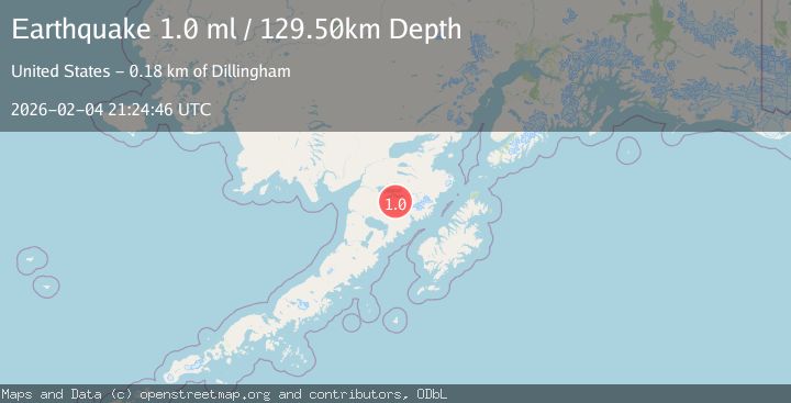
A 1.0 magnitude earthquake struck on 67 km ESE of King Salmon, Alaska, at Wed, 04 Feb 2026 21:24:46 GMT. Depth: 129.5km. Reviewed by USGS seismologists, this minor quake occurred at a magnitude type of ml.
Magnitude
1.0
ml
Source
USGS
Intensity
-
Agency Reports
1 Sources| Source | Magnitude | Depth | Time |
|---|---|---|---|
| USGSPrimary | 1.0 | 130 km | 2 hours ago |
Earthquake Details
AutomaticEvent IDusgs_ak2026cmbhax
Tsunami PotentialNo
Magnitude Typeml
Nearest Places
- Yori Pass7.5 km
- Mount Kelez7.6 km
- Margot Creek9.8 km
- Mount Katolinat10.9 km
- River Lethe13.3 km
Comments
Join the discussion about this event.
Latest Earthquakes
1.5Mag
NORTHERN ITALY
Time1 hour ago
Depth6.10 km
SourceETHZ (Automatic)
1.7Mag
42 km ESE of Knik River, Alaska
Time1 hour ago
Depth29.20 km
SourceUSGS (Automatic)
4.7Mag
Mindanao, Philippines
Time1 hour ago
Depth10.00 km
SourceBMKG (Automatic)
3.0Mag
Minahassa Peninsula, Sulawesi
Time1 hour ago
Depth113.48 km
SourceBMKG (Automatic)
1.7Mag
8 km N of Ventura, CA
Time1 hour ago
Depth6.04 km
SourceUSGS (Automatic)
Nearby Earthquakes
0.6Mag
93 km ESE of King Salmon, Alaska
Time1 week ago
Depth2.90 km
SourceUSGS (Automatic)
0.6Mag
88 km NW of Karluk, Alaska
Time1 week ago
Depth5.00 km
SourceUSGS (Automatic)
2.3Mag
42 km ESE of King Salmon, Alaska
Time1 week ago
Depth175.70 km
SourceUSGS (Automatic)
0.8Mag
86 km NW of Karluk, Alaska
Time4 days ago
Depth5.00 km
SourceUSGS (Automatic)
0.4Mag
86 km NW of Karluk, Alaska
Time1 week ago
Depth5.00 km
SourceUSGS (Automatic)