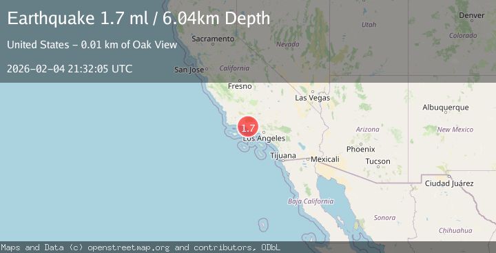
Earthquake 8 km N of Ventura, CA
Wed, 04 Feb 2026 21:32:05 GMT
Time1 hour ago
Location
34.3493, -119.2330
Depth
6.0 KM
Event Summary
A 1.7 magnitude earthquake struck on 8 km N of Ventura, CA, at Wed, 04 Feb 2026 21:32:05 GMT. Depth: 6.03999996185303km. Reviewed by USGS seismologists, this minor quake occurred at a magnitude type of ml.
Magnitude
1.7
ml
Source
USGS
Intensity
-
Agency Reports
1 Sources| Source | Magnitude | Depth | Time |
|---|---|---|---|
| USGSPrimary | 1.7 | 6 km | 1 hour ago |
Earthquake Details
AutomaticEvent IDusgs_ci41391808
Tsunami PotentialNo
Magnitude Typeml
Nearest Places
- Coche Canyon2.0 km
- Leon Canyon2.0 km
- Sulphur Canyon2.0 km
- Cañada Del Aliso2.4 km
- Hammond Canyon2.6 km
Comments
Join the discussion about this event.
Latest Earthquakes
3.8Mag
Southern Sumatra, Indonesia
Time1 hour ago
Depth10.00 km
SourceBMKG (Automatic)
1.5Mag
NORTHERN ITALY
Time1 hour ago
Depth6.10 km
SourceETHZ (Automatic)
1.7Mag
42 km ESE of Knik River, Alaska
Time1 hour ago
Depth29.20 km
SourceUSGS (Automatic)
4.7Mag
Mindanao, Philippines
Time1 hour ago
Depth10.00 km
SourceBMKG (Automatic)
3.0Mag
Minahassa Peninsula, Sulawesi
Time1 hour ago
Depth113.48 km
SourceBMKG (Automatic)
Nearby Earthquakes
1.0Mag
7 km NNW of Santa Paula, CA
Time2 days ago
Depth9.99 km
SourceUSGS (Automatic)
1.8Mag
7 km W of Oxnard, CA
Time1 week ago
Depth4.15 km
SourceUSGS (Automatic)
1.9Mag
13 km NE of Carpinteria, CA
Time1 week ago
Depth2.49 km
SourceUSGS (Automatic)
1.7Mag
5 km S of Carpinteria, CA
Time1 week ago
Depth3.45 km
SourceUSGS (Automatic)
1.7Mag
9 km N of Fillmore, CA
Time6 days ago
Depth4.82 km
SourceUSGS (Automatic)