Earthquake 13 km W of Kenai, Alaska
Thu, 05 Feb 2026 01:45:25 GMT
Time4 hours ago
Location
60.5310, -151.5080
Depth
69.0 KM
Event Summary
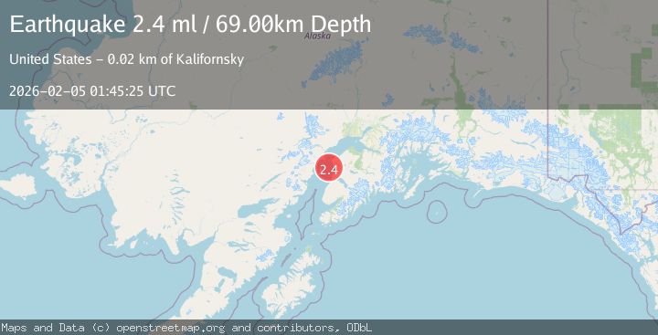
A 2.4 magnitude earthquake struck on 13 km W of Kenai, Alaska, at Thu, 05 Feb 2026 01:45:25 GMT. Depth: 69km. Reviewed by USGS seismologists, this minor quake occurred at a magnitude type of ml.
Magnitude
2.4
ml
Source
USGS
Intensity
-
Agency Reports
1 Sources| Source | Magnitude | Depth | Time |
|---|---|---|---|
| USGSPrimary | 2.4 | 69 km | 4 hours ago |
Earthquake Details
AutomaticEvent IDusgs_ak2026cmjxqw
Tsunami PotentialNo
Magnitude Typeml
Nearest Places
- Salmo Rock8.6 km
- Karluk Reef11.3 km
- Henley Airport12.2 km
- Kenai River12.6 km
- Wildwood Correctional Complex12.8 km
Comments
Join the discussion about this event.
Latest Earthquakes
1.5Mag
6 km E of Warner Springs, CA
Time4 hours ago
Depth26.31 km
SourceUSGS (Automatic)
3.3Mag
JUJUY, ARGENTINA
Time4 hours ago
Depth238.80 km
SourceCSN (Automatic)
0.4Mag
8 km W of Cobb, CA
Time4 hours ago
Depth1.66 km
SourceUSGS (Automatic)
2.1Mag
Sumbawa Region, Indonesia
Time4 hours ago
Depth20.26 km
SourceBMKG (Automatic)
2.5Mag
58 km ESE of King Salmon, Alaska
Time5 hours ago
Depth155.30 km
SourceUSGS (Automatic)
Nearby Earthquakes
2.0Mag
4 km S of Kasilof, Alaska
Time1 week ago
Depth70.00 km
SourceUSGS (Automatic)
2.2Mag
4 km SSE of Kasilof, Alaska
Time1 week ago
Depth54.20 km
SourceUSGS (Automatic)
2.1Mag
25 km WNW of Nikiski, Alaska
Time1 week ago
Depth83.70 km
SourceUSGS (Automatic)
1.2Mag
20 km W of Clam Gulch, Alaska
Time1 week ago
Depth61.80 km
SourceUSGS (Automatic)
1.9Mag
Southern Alaska
Time2 weeks ago
Depth82.60 km
SourceUSGS (Automatic)