Earthquake 22 km NNW of Eureka Roadhouse, Alaska
Fri, 06 Feb 2026 14:20:37 GMT
Time10 hours ago
Location
62.1110, -147.3930
Depth
20.5 KM
Event Summary
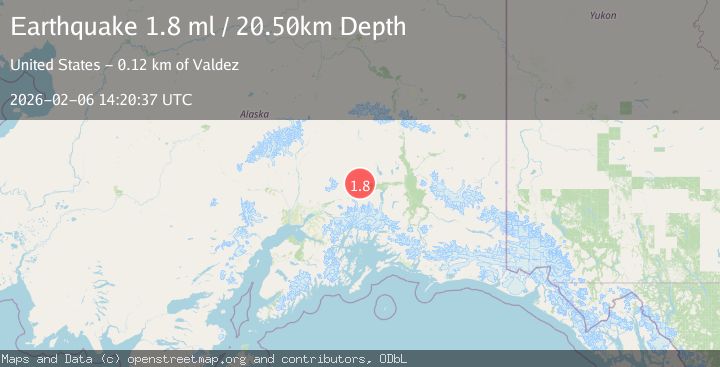
A 1.8 magnitude earthquake struck on 22 km NNW of Eureka Roadhouse, Alaska, at Fri, 06 Feb 2026 14:20:37 GMT. Depth: 20.5km. Reviewed by USGS seismologists, this minor quake occurred at a magnitude type of ml.
Magnitude
1.8
ml
Source
USGS
Intensity
-
Agency Reports
1 Sources| Source | Magnitude | Depth | Time |
|---|---|---|---|
| USGSPrimary | 1.8 | 21 km | 10 hours ago |
Earthquake Details
AutomaticEvent IDusgs_ak2026cperhj
Tsunami PotentialNo
Magnitude Typeml
Nearest Places
- Wall of China0.8 km
- White Hill2.8 km
- Flat Creek4.0 km
- Placer Creek4.4 km
- Mead Creek4.6 km
Comments
Join the discussion about this event.
Latest Earthquakes
3.4Mag
GREECE
Time10 minutes ago
Depth5.00 km
SourceNOA (Automatic)
2.8Mag
Sumbawa Region, Indonesia
Time10 minutes ago
Depth38.15 km
SourceBMKG (Automatic)
2.3Mag
Java, Indonesia
Time11 minutes ago
Depth5.00 km
SourceBMKG (Automatic)
2.3Mag
Bali Sea
Time17 minutes ago
Depth17.94 km
SourceBMKG (Automatic)
3.2Mag
LIBERTADOR O'HIGGINS, CHILE
Time19 minutes ago
Depth66.50 km
SourceCSN (Automatic)
Nearby Earthquakes
1.5Mag
15 km WNW of Eureka Roadhouse, Alaska
Time1 week ago
Depth31.90 km
SourceUSGS
1.8Mag
39 km N of Glacier View, Alaska
Time1 week ago
Depth36.20 km
SourceUSGS (Automatic)
1.7Mag
37 km N of Glacier View, Alaska
Time12 hours ago
Depth23.40 km
SourceUSGS (Automatic)
1.6Mag
40 km NNW of Glacier View, Alaska
Time4 hours ago
Depth34.70 km
SourceUSGS (Automatic)
2.0Mag
40 km NNW of Glacier View, Alaska
Time1 day ago
Depth34.90 km
SourceUSGS