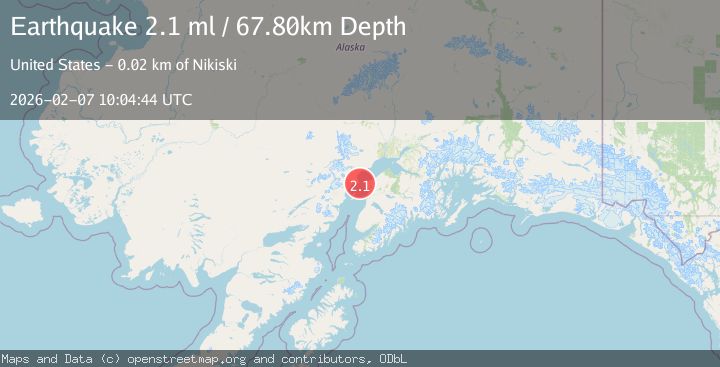
Earthquake 17 km W of Nikiski, Alaska
Sat, 07 Feb 2026 10:04:44 GMT
Time1 hour ago
Location
60.7050, -151.6140
Depth
67.8 KM
Event Summary
A 2.1 magnitude earthquake struck on 17 km W of Nikiski, Alaska, at Sat, 07 Feb 2026 10:04:44 GMT. Depth: 67.8km. Reviewed by USGS seismologists, this minor quake occurred at a magnitude type of ml.
Magnitude
2.1
ml
Source
USGS
Intensity
-
Agency Reports
1 Sources| Source | Magnitude | Depth | Time |
|---|---|---|---|
| USGSPrimary | 2.1 | 68 km | 1 hour ago |
Earthquake Details
AutomaticEvent IDusgs_ak2026cqrxro
Tsunami PotentialNo
Magnitude Typeml
Nearest Places
- Knutruin Rock5.0 km
- Oil Platform Dillon7.1 km
- Kustatan7.7 km
- Oil Platform C9.0 km
- Kustatan River10.1 km
Comments
Join the discussion about this event.
Latest Earthquakes
2.1Mag
31 km S of Eureka Roadhouse, Alaska
Time5 minutes ago
Depth20.60 km
SourceUSGS (Automatic)
1.7Mag
78 km ENE of McCarthy, Alaska
Time11 minutes ago
Depth5.00 km
SourceUSGS (Automatic)
3.9Mag
Minahassa Peninsula, Sulawesi
Time15 minutes ago
Depth17.61 km
SourceBMKG (Automatic)
5.3Mag
PRINCE EDWARD ISLANDS REGION
Time19 minutes ago
Depth10.00 km
SourceEMSC (Automatic)
2.3Mag
3 km SSE of Knik, Alaska
Time21 minutes ago
Depth20.60 km
SourceUSGS (Automatic)
Nearby Earthquakes
2.1Mag
25 km WNW of Nikiski, Alaska
Time1 week ago
Depth83.70 km
SourceUSGS (Automatic)
1.5Mag
27 km W of Salamatof, Alaska
Time1 day ago
Depth81.30 km
SourceUSGS
2.8Mag
24 km NW of Nikiski, Alaska
Time2 weeks ago
Depth80.10 km
SourceUSGS (Automatic)
2.4Mag
13 km W of Kenai, Alaska
Time2 days ago
Depth69.00 km
SourceUSGS (Automatic)
1.9Mag
Southern Alaska
Time2 weeks ago
Depth82.60 km
SourceUSGS (Automatic)