Earthquake 27 km W of Ferry, Alaska
Sat, 07 Feb 2026 13:47:07 GMT
Time1 week ago
Location
63.9990, -149.6740
Depth
13.4 KM
Event Summary
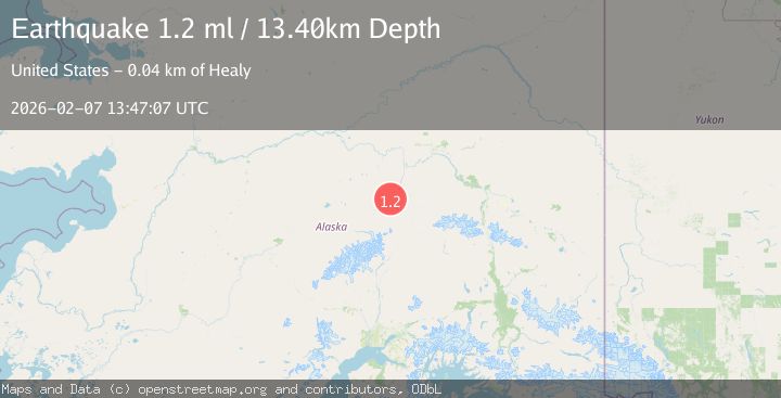
A 1.2 magnitude earthquake struck on 27 km W of Ferry, Alaska, at Sat, 07 Feb 2026 13:47:07 GMT. Depth: 13.4km. Reviewed by USGS seismologists, this minor quake occurred at a magnitude type of ml.
Magnitude
1.2
ml
Source
USGS
Intensity
-
Agency Reports
1 Sources| Source | Magnitude | Depth | Time |
|---|---|---|---|
| USGSPrimary | 1.2 | 13 km | 1 week ago |
Earthquake Details
AutomaticEvent IDusgs_ak2026cqzhii
Tsunami PotentialNo
Magnitude Typeml
Nearest Places
- Savage River12.5 km
- Tr'at'egheth No' Dochaget12.7 km
- Fish Creek15.3 km
- Sunday Creek15.3 km
- Bearpaw Creek15.9 km
Comments
Join the discussion about this event.
Latest Earthquakes
3.4Mag
Rat Islands, Aleutian Islands, Alaska
Time1 hour ago
Depth112.18 km
SourceVYT (Automatic)
2.8Mag
Timor Region
Time1 hour ago
Depth54.29 km
SourceBMKG
3.2Mag
Southern Alaska
Time1 hour ago
Depth76.29 km
SourceVYT (Automatic)
3.8Mag
Nicaragua
Time2 hours ago
Depth342.53 km
SourceVYT (Automatic)
1.5Mag
Tarapaca, Chile
Time2 hours ago
Depth1.95 km
SourceVYT (Automatic)
Nearby Earthquakes
2.5Mag
Central Alaska
Time2 hours ago
Depth312.99 km
SourceVYT (Automatic)
2.2Mag
13 km NW of Ferry, Alaska
Time3 weeks ago
Depth139.50 km
SourceUSGS (Automatic)
3.0Mag
CENTRAL ALASKA
Time7 years ago
Depth11.00 km
SourceNEIR (Automatic)
1.7Mag
25 km W of Denali Park, Alaska
Time2 weeks ago
Depth112.20 km
SourceUSGS (Automatic)
1.8Mag
37 km W of Clear, Alaska
Time3 weeks ago
Depth1.40 km
SourceUSGS (Automatic)