Earthquake 87 km WNW of Karluk, Alaska
Sat, 07 Feb 2026 18:15:07 GMT
Time1 hour ago
Location
57.9250, -155.7680
Depth
4.8 KM
Event Summary
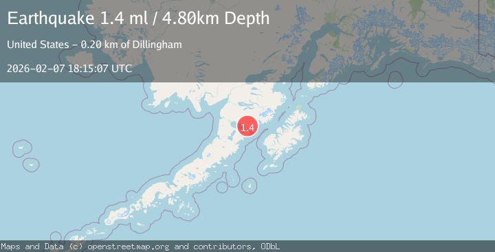
A 1.4 magnitude earthquake struck on 87 km WNW of Karluk, Alaska, at Sat, 07 Feb 2026 18:15:07 GMT. Depth: 4.8km. Reviewed by USGS seismologists, this minor quake occurred at a magnitude type of ml.
Magnitude
1.4
ml
Source
USGS
Intensity
-
Agency Reports
1 Sources| Source | Magnitude | Depth | Time |
|---|---|---|---|
| USGSPrimary | 1.4 | 5 km | 1 hour ago |
Earthquake Details
AutomaticEvent IDusgs_ak2026criegn
Tsunami PotentialNo
Magnitude Typeml
Nearest Places
- Becharof Wilderness6.8 km
- Katrine Creek8.2 km
- Margaret Creek9.4 km
- East Fork Kejulik River9.7 km
- Marie Creek11.7 km
Comments
Join the discussion about this event.
Latest Earthquakes
2.1Mag
ISLAND OF HAWAII, HAWAII
Time7 minutes ago
Depth18.10 km
SourceHV (Automatic)
2.7Mag
Flores Sea
Time11 minutes ago
Depth246.49 km
SourceBMKG (Automatic)
1.1Mag
EASTERN TURKEY
Time29 minutes ago
Depth7.00 km
SourceAFAD (Automatic)
3.3Mag
AZORES ISLANDS REGION
Time31 minutes ago
Depth5.00 km
SourcePDA (Automatic)
2.5Mag
Java, Indonesia
Time36 minutes ago
Depth28.48 km
SourceBMKG (Automatic)
Nearby Earthquakes
1.1Mag
80 km WNW of Karluk, Alaska
Time6 days ago
Depth6.30 km
SourceUSGS (Automatic)
1.4Mag
85 km WNW of Karluk, Alaska
Time2 weeks ago
Depth17.30 km
SourceUSGS (Automatic)
1.3Mag
82 km NW of Karluk, Alaska
Time1 week ago
Depth5.00 km
SourceUSGS (Automatic)
0.8Mag
82 km NW of Karluk, Alaska
Time6 days ago
Depth5.00 km
SourceUSGS (Automatic)
1.4Mag
73 km NW of Karluk, Alaska
Time2 weeks ago
Depth1.20 km
SourceUSGS (Automatic)