Earthquake 78 km ENE of Ugashik, Alaska
Thu, 12 Feb 2026 00:42:00 GMT
Time6 days ago
Location
57.7970, -156.1880
Depth
5.0 KM
Event Summary
A 1.8 magnitude earthquake struck on 78 km ENE of Ugashik, Alaska, at Thu, 12 Feb 2026 00:42:00 GMT. Depth: 5km. Reviewed by USGS seismologists, this minor quake occurred at a magnitude type of ml.
Magnitude
1.8
ml
Source
USGS
Intensity
-
Agency Reports
2 Sources| Source | Magnitude | Depth | Time |
|---|---|---|---|
| USGSPrimary | 1.2 | 5 km | 6 days ago |
| VYT | 1.8 | 0 km | 6 days ago |
Earthquake Details
AutomaticEvent IDusgs_ak2026czdxek
Tsunami PotentialNo
Magnitude Typeml
Nearest Places
- Featherly Creek4.7 km
- Simeon Creek6.0 km
- Camp Creek6.3 km
- Severson Peninsula8.5 km
- Mount Simeon10.9 km
Comments
Join the discussion about this event.
Latest Earthquakes
1.5Mag
California-Baja California border region
Time17 hours ago
Depth16.24 km
SourceVYT (Automatic)
1.1Mag
6 km NW of The Geysers, CA
Time17 hours ago
Depth1.72 km
SourceUSGS (Automatic)
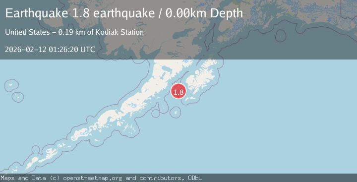
1.8Mag
Central Alaska
Time17 hours ago
Depth0.00 km
SourceVYT (Automatic)
1.7Mag
Southeastern Alaska
Time17 hours ago
Depth11.84 km
SourceVYT (Automatic)
2.8Mag
WESTERN TURKEY
Time17 hours ago
Depth7.00 km
SourceAFAD (Automatic)
Nearby Earthquakes
2.0Mag
82 km ENE of Ugashik, Alaska
Time1 week ago
Depth119.60 km
SourceUSGS (Automatic)
1.9Mag
Alaska Peninsula
Time1 week ago
Depth0.00 km
SourceVYT (Automatic)
1.8Mag
73 km ENE of Ugashik, Alaska
Time1 week ago
Depth130.20 km
SourceUSGS (Automatic)
3.0Mag
ALASKA PENINSULA
Time7 years ago
Depth124.00 km
SourceNEIR (Automatic)
1.4Mag
ALASKA PENINSULA
Time1 month ago
Depth10.40 km
SourceAV (Automatic)