Earthquake 33 km NW of Valdez, Alaska
Thu, 12 Feb 2026 01:36:41 GMT
Time6 days ago
Location
61.3330, -146.8210
Depth
22.1 KM
Event Summary
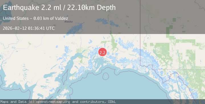
A 2.2 magnitude earthquake struck on 33 km NW of Valdez, Alaska, at Thu, 12 Feb 2026 01:36:41 GMT. Depth: 22.1km. Reviewed by USGS seismologists, this minor quake occurred at a magnitude type of ml.
Magnitude
2.2
ml
Source
USGS
Intensity
-
Agency Reports
1 Sources| Source | Magnitude | Depth | Time |
|---|---|---|---|
| USGSPrimary | 2.2 | 22 km | 6 days ago |
Earthquake Details
AutomaticEvent IDusgs_ak2026czfshg
Tsunami PotentialNo
Magnitude Typeml
Nearest Places
- Ted Stevens Icefield0.7 km
- Pilot Peak4.6 km
- Pandora Peak5.3 km
- Tazlina Tower6.9 km
- Madean Peak7.0 km
Comments
Join the discussion about this event.
Latest Earthquakes
1.7Mag
western Texas
Time6 minutes ago
Depth3.42 km
SourceVYT (Automatic)
3.8Mag
Seram, Indonesia
Time8 minutes ago
Depth0.00 km
SourceVYT (Automatic)
1.6Mag
54 km WNW of Toyah, Texas
Time13 minutes ago
Depth0.00 km
SourceUSGS (Automatic)
2.2Mag
West Papua Region, Indonesia
Time15 minutes ago
Depth26.69 km
SourceBMKG
1.2Mag
WESTERN TURKEY
Time16 minutes ago
Depth7.00 km
SourceAFAD (Automatic)
Nearby Earthquakes
1.9Mag
34 km NW of Valdez, Alaska
Time1 week ago
Depth27.60 km
SourceUSGS (Automatic)
1.8Mag
31 km NW of Valdez, Alaska
Time3 weeks ago
Depth22.60 km
SourceUSGS (Automatic)
1.7Mag
Southern Alaska
Time3 days ago
Depth21.73 km
SourceVYT (Automatic)
3.0Mag
SOUTHERN ALASKA
Time1 year ago
Depth31.20 km
SourceNEIC (Automatic)
1.8Mag
29 km NW of Valdez, Alaska
Time3 weeks ago
Depth27.00 km
SourceUSGS (Automatic)