Earthquake Southern Alaska
Sat, 14 Feb 2026 20:04:51 GMT
Time3 days ago
Location
61.3416, -146.8839
Depth
21.7 KM
Event Summary
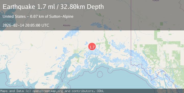
A 1.7 magnitude earthquake struck on Southern Alaska, at Sat, 14 Feb 2026 20:04:51 GMT. Depth: 21.728515625km. Reviewed by VYT seismologists, this minor quake occurred at a magnitude type of earthquake.
Magnitude
1.7
earthquake
Source
VYT
Intensity
-
Agency Reports
2 Sources| Source | Magnitude | Depth | Time |
|---|---|---|---|
| VYTPrimary | 1.7 | 22 km | 3 days ago |
| USGS | 1.7 | 33 km | 3 days ago |
Earthquake Details
AutomaticEvent IDvyt_36atdpwbh786f
Tsunami PotentialNo
Magnitude Typeearthquake
Nearest Places
- Pilot Peak1.1 km
- Ted Stevens Icefield2.9 km
- Sharkstooth Mountain5.5 km
- Mount Langmuir6.7 km
- Columbia Glacier6.9 km
Comments
Join the discussion about this event.
Latest Earthquakes
3.0Mag
Kenai Peninsula, Alaska
Time19 hours ago
Depth57.62 km
SourceVYT (Automatic)
2.1Mag
Sumbawa region, Indonesia
Time19 hours ago
Depth2.32 km
SourceVYT (Automatic)
2.5Mag
Antofagasta, Chile
Time19 hours ago
Depth0.00 km
SourceVYT (Automatic)
2.5Mag
south of Alaska
Time19 hours ago
Depth10.00 km
SourceVYT (Automatic)
2.4Mag
South of Bali, Indonesia
Time19 hours ago
Depth27.32 km
SourceBMKG
Nearby Earthquakes
2.2Mag
33 km NW of Valdez, Alaska
Time6 days ago
Depth22.10 km
SourceUSGS (Automatic)
1.9Mag
34 km NW of Valdez, Alaska
Time1 week ago
Depth27.60 km
SourceUSGS (Automatic)
3.0Mag
SOUTHERN ALASKA
Time1 year ago
Depth31.20 km
SourceNEIC (Automatic)
1.8Mag
31 km NW of Valdez, Alaska
Time3 weeks ago
Depth22.60 km
SourceUSGS (Automatic)
1.8Mag
29 km NW of Valdez, Alaska
Time3 weeks ago
Depth27.00 km
SourceUSGS (Automatic)