Earthquake 71 km SW of Skwentna, Alaska
Fri, 13 Feb 2026 11:26:57 GMT
Time5 days ago
Location
61.5640, -152.4060
Depth
5.0 KM
Event Summary
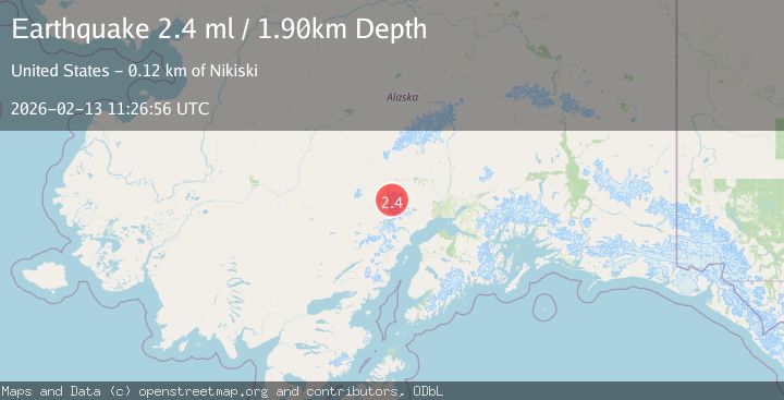
A 2.4 magnitude earthquake struck on 71 km SW of Skwentna, Alaska, at Fri, 13 Feb 2026 11:26:57 GMT. Depth: 5km. Reviewed by USGS seismologists, this minor quake occurred at a magnitude type of ml.
Magnitude
2.4
ml
Source
USGS
Intensity
-
Agency Reports
2 Sources| Source | Magnitude | Depth | Time |
|---|---|---|---|
| USGSPrimary | 2.4 | 5 km | 5 days ago |
| NEIC | 2.4 | 2 km | 5 days ago |
Earthquake Details
AutomaticEvent IDusgs_ak2026dbuzvg
Tsunami PotentialNo
Magnitude Typeml
Nearest Places
- Mount Gerdine2.4 km
- Hayes Volcano4.8 km
- North Twin Glacier13.4 km
- Triumvirate Glacier14.2 km
- Hayes Glacier15.8 km
Comments
Join the discussion about this event.
Latest Earthquakes
2.6Mag
Java, Indonesia
Time15 hours ago
Depth28.23 km
SourceBMKG
2.6Mag
Sumbawa region, Indonesia
Time15 hours ago
Depth155.40 km
SourceVYT (Automatic)
2.3Mag
near the coast of Tarapaca, Chile
Time15 hours ago
Depth20.02 km
SourceVYT (Automatic)
1.6Mag
northwestern Russia
Time15 hours ago
Depth0.00 km
SourceVYT (Automatic)
5.0Mag
Andreanof Islands, Aleutian Islands, Alaska
Time15 hours ago
Depth32.84 km
SourceVYT (Automatic)
Nearby Earthquakes
3.0Mag
SOUTHERN ALASKA
Time4 years ago
Depth5.00 km
SourceNEIC (Automatic)
1.1Mag
Southern Alaska
Time5 days ago
Depth12.94 km
SourceVYT (Automatic)
0.7Mag
Southern Alaska
Time4 days ago
Depth0.00 km
SourceVYT (Automatic)
3.0Mag
SOUTHERN ALASKA
Time5 years ago
Depth133.00 km
SourceNEIR (Automatic)
1.1Mag
Southern Alaska
Time1 week ago
Depth0.00 km
SourceVYT (Automatic)