Earthquake Southern Alaska
Fri, 13 Feb 2026 11:30:38 GMT
Time5 days ago
Location
61.5440, -152.4080
Depth
12.9 KM
Event Summary
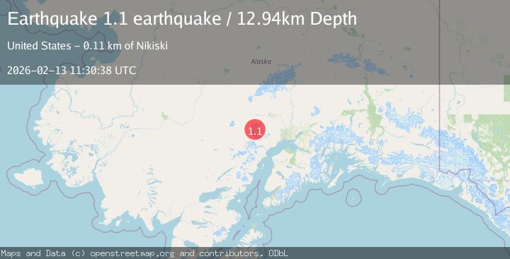
A 1.1 magnitude earthquake struck on Southern Alaska, at Fri, 13 Feb 2026 11:30:38 GMT. Depth: 12.939453125km. Reviewed by VYT seismologists, this minor quake occurred at a magnitude type of earthquake.
Magnitude
1.1
earthquake
Source
VYT
Intensity
-
Agency Reports
1 Sources| Source | Magnitude | Depth | Time |
|---|---|---|---|
| VYTPrimary | 1.1 | 13 km | 5 days ago |
Earthquake Details
AutomaticEvent IDvyt_2ovjp556yejiq
Tsunami PotentialNo
Magnitude Typeearthquake
Nearest Places
- Mount Gerdine4.2 km
- Hayes Volcano6.7 km
- North Twin Glacier12.1 km
- Triumvirate Glacier13.0 km
- Tordrillo Mountains15.0 km
Comments
Join the discussion about this event.
Latest Earthquakes
1.9Mag
Antofagasta, Chile
Time1 minute ago
Depth9.40 km
SourceVYT (Automatic)
1.3Mag
8 km NW of The Geysers, CA
Time1 minute ago
Depth2.00 km
SourceUSGS (Automatic)
1.2Mag
63 km WNW of Toyah, Texas
Time4 minutes ago
Depth0.08 km
SourceUSGS (Automatic)
1.4Mag
12 km SSW of Salton City, CA
Time8 minutes ago
Depth5.74 km
SourceUSGS (Automatic)
1.2Mag
Southern Alaska
Time13 minutes ago
Depth37.11 km
SourceVYT (Automatic)
Nearby Earthquakes
0.7Mag
Southern Alaska
Time4 days ago
Depth0.00 km
SourceVYT (Automatic)
2.4Mag
71 km SW of Skwentna, Alaska
Time5 days ago
Depth5.00 km
SourceUSGS (Automatic)
3.0Mag
SOUTHERN ALASKA
Time4 years ago
Depth5.00 km
SourceNEIC (Automatic)
3.0Mag
SOUTHERN ALASKA
Time5 years ago
Depth133.00 km
SourceNEIR (Automatic)
1.1Mag
Southern Alaska
Time1 week ago
Depth0.00 km
SourceVYT (Automatic)