Earthquake 30 km E of Skwentna, Alaska
Fri, 13 Feb 2026 21:18:10 GMT
Time4 days ago
Location
62.0170, -150.8230
Depth
14.4 KM
Event Summary
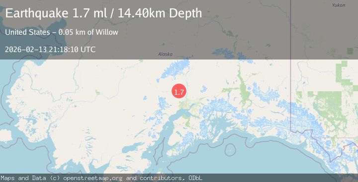
A 1.7 magnitude earthquake struck on 30 km E of Skwentna, Alaska, at Fri, 13 Feb 2026 21:18:10 GMT. Depth: 14.4km. Reviewed by USGS seismologists, this minor quake occurred at a magnitude type of ml.
Magnitude
1.7
ml
Source
USGS
Intensity
-
Agency Reports
1 Sources| Source | Magnitude | Depth | Time |
|---|---|---|---|
| USGSPrimary | 1.7 | 14 km | 4 days ago |
Earthquake Details
AutomaticEvent IDusgs_ak2026dcophd
Tsunami PotentialNo
Magnitude Typeml
Nearest Places
- Beaver Creek4.8 km
- Traleika Col6.3 km
- Knik Alaska Native Village Statistical Area6.8 km
- Fish Lakes9.4 km
- Yenlo Creek10.1 km
Comments
Join the discussion about this event.
Latest Earthquakes
1.4Mag
Kenai Peninsula, Alaska
Time16 hours ago
Depth35.28 km
SourceVYT (Automatic)
1.1Mag
87 km N of Karluk, Alaska
Time17 hours ago
Depth5.00 km
SourceUSGS (Automatic)
2.3Mag
Southern Sumatra, Indonesia
Time17 hours ago
Depth36.72 km
SourceBMKG
2.6Mag
Java, Indonesia
Time17 hours ago
Depth62.13 km
SourceBMKG
1.8Mag
Tarapaca, Chile
Time17 hours ago
Depth0.00 km
SourceVYT (Automatic)
Nearby Earthquakes
2.2Mag
31 km E of Skwentna, Alaska
Time2 weeks ago
Depth64.10 km
SourceUSGS (Automatic)
5.4Mag
CENTRAL ALASKA
Time16 years ago
Depth69.00 km
SourceEMSC (Automatic)
2.1Mag
Central Alaska
Time2 days ago
Depth61.04 km
SourceVYT (Automatic)
4.2Mag
SOUTHERN ALASKA
Time1 month ago
Depth65.00 km
SourceNEIC (Automatic)
3.0Mag
SOUTHERN ALASKA
Time7 years ago
Depth35.00 km
SourceNEIC (Automatic)