Earthquake 53 km NNW of Petersville, Alaska
Sun, 15 Feb 2026 14:44:45 GMT
Time2 days ago
Location
62.9260, -151.2460
Depth
109.0 KM
Event Summary
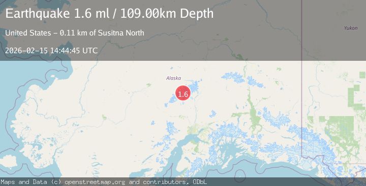
A 1.6 magnitude earthquake struck on 53 km NNW of Petersville, Alaska, at Sun, 15 Feb 2026 14:44:45 GMT. Depth: 109km. Reviewed by USGS seismologists, this minor quake occurred at a magnitude type of ml.
Magnitude
1.6
ml
Source
USGS
Intensity
-
Agency Reports
1 Sources| Source | Magnitude | Depth | Time |
|---|---|---|---|
| USGSPrimary | 1.6 | 109 km | 2 days ago |
Earthquake Details
AutomaticEvent IDusgs_ak2026dftaam
Tsunami PotentialNo
Magnitude Typeml
Nearest Places
- Southeast Fork Kahiltna Glacier7.8 km
- Mount Hunter8.4 km
- Mount Foraker8.6 km
- Mount Stevens9.1 km
- Mount Crosson9.3 km
Comments
Join the discussion about this event.
Latest Earthquakes
2.8Mag
Sulawesi, Indonesia
Time1 minute ago
Depth21.08 km
SourceBMKG
2.1Mag
WESTERN TURKEY
Time5 minutes ago
Depth12.30 km
SourceKOERI (Automatic)
2.2Mag
Alaska Peninsula
Time5 minutes ago
Depth57.74 km
SourceVYT (Automatic)
3.7Mag
WESTERN TURKEY
Time8 minutes ago
Depth13.30 km
SourceKOERI (Automatic)
1.6Mag
27 km ESE of Balmorhea, Texas
Time8 minutes ago
Depth3.56 km
SourceUSGS (Automatic)
Nearby Earthquakes
3.3Mag
CENTRAL ALASKA
Time1 month ago
Depth114.90 km
SourceNEIC (Automatic)
1.9Mag
Central Alaska
Time18 hours ago
Depth100.95 km
SourceVYT (Automatic)
2.4Mag
CENTRAL ALASKA
Time3 weeks ago
Depth115.30 km
SourceNEIC (Automatic)
3.0Mag
CENTRAL ALASKA
Time5 years ago
Depth126.00 km
SourceNEIC (Automatic)
1.7Mag
Central Alaska
Time1 day ago
Depth122.44 km
SourceVYT (Automatic)