Earthquake Central Alaska
Mon, 16 Feb 2026 23:19:17 GMT
Time1 day ago
Location
62.9333, -151.0702
Depth
122.4 KM
Event Summary
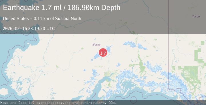
A 1.7 magnitude earthquake struck on Central Alaska, at Mon, 16 Feb 2026 23:19:17 GMT. Depth: 122.4365234375km. Reviewed by VYT seismologists, this minor quake occurred at a magnitude type of earthquake.
Magnitude
1.7
earthquake
Source
VYT
Intensity
-
Agency Reports
2 Sources| Source | Magnitude | Depth | Time |
|---|---|---|---|
| VYTPrimary | 1.6 | 122 km | 1 day ago |
| USGS | 1.7 | 107 km | 1 day ago |
Earthquake Details
AutomaticEvent IDvyt_hbi1yxnxems3
Tsunami PotentialNo
Magnitude Typeearthquake
Nearest Places
- Mount Stevens1.4 km
- Mount Hunter2.2 km
- Southeast Fork Kahiltna Glacier4.6 km
- Ruth Gap6.2 km
- East Fork Kahiltna Glacier8.0 km
Comments
Join the discussion about this event.
Latest Earthquakes
1.4Mag
Czech Republic
Time1 minute ago
Depth0.00 km
SourceVYT (Automatic)
2.1Mag
Tarapaca, Chile
Time7 minutes ago
Depth8.18 km
SourceVYT (Automatic)
1.4Mag
12 km ESE of Olancha, CA
Time8 minutes ago
Depth7.15 km
SourceUSGS (Automatic)
2.8Mag
northwestern Russia
Time9 minutes ago
Depth10.00 km
SourceVYT (Automatic)
3.3Mag
Near North Coast of West Papua
Time9 minutes ago
Depth10.00 km
SourceBMKG
Nearby Earthquakes
2.4Mag
CENTRAL ALASKA
Time3 weeks ago
Depth115.30 km
SourceNEIC (Automatic)
2.0Mag
Central Alaska
Time2 days ago
Depth107.79 km
SourceVYT (Automatic)
3.0Mag
CENTRAL ALASKA
Time3 years ago
Depth112.00 km
SourceNEIC (Automatic)
2.1Mag
CENTRAL ALASKA
Time1 month ago
Depth123.80 km
SourceNEIC (Automatic)
2.6Mag
CENTRAL ALASKA
Time1 month ago
Depth118.80 km
SourceNEIC (Automatic)