Earthquake 17 km NW of Tatitlek, Alaska
Mon, 16 Feb 2026 06:34:04 GMT
Time2 days ago
Location
60.9810, -146.8970
Depth
27.0 KM
Event Summary
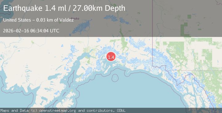
A 1.4 magnitude earthquake struck on 17 km NW of Tatitlek, Alaska, at Mon, 16 Feb 2026 06:34:04 GMT. Depth: 27km. Reviewed by USGS seismologists, this minor quake occurred at a magnitude type of ml.
Magnitude
1.4
ml
Source
USGS
Intensity
-
Agency Reports
1 Sources| Source | Magnitude | Depth | Time |
|---|---|---|---|
| USGSPrimary | 1.4 | 27 km | 2 days ago |
Earthquake Details
AutomaticEvent IDusgs_ak2026dgymbs
Tsunami PotentialNo
Magnitude Typeml
Nearest Places
- Jade Harbor4.4 km
- Valdez Arm5.4 km
- Mount Freemantle5.5 km
- Number One River5.8 km
- Heather Bay6.7 km
Comments
Join the discussion about this event.
Latest Earthquakes
1.9Mag
Southern Alaska
Time19 hours ago
Depth0.00 km
SourceVYT (Automatic)
2.5Mag
Antofagasta, Chile
Time19 hours ago
Depth111.21 km
SourceVYT (Automatic)
2.8Mag
Tarapaca, Chile
Time19 hours ago
Depth89.11 km
SourceVYT (Automatic)
2.5Mag
LA RIOJA, ARGENTINA
Time19 hours ago
Depth124.00 km
SourceNSNA (Automatic)
1.8Mag
Central Alaska
Time19 hours ago
Depth0.00 km
SourceVYT (Automatic)
Nearby Earthquakes
1.9Mag
Southern Alaska
Time1 week ago
Depth0.00 km
SourceVYT (Automatic)
1.8Mag
15 km NNW of Tatitlek, Alaska
Time3 weeks ago
Depth8.00 km
SourceUSGS (Automatic)
1.8Mag
22 km NW of Tatitlek, Alaska
Time3 weeks ago
Depth13.70 km
SourceUSGS
2.5Mag
SOUTHERN ALASKA
Time2 months ago
Depth10.00 km
SourceNEIC (Automatic)
3.0Mag
SOUTHERN ALASKA
Time4 years ago
Depth10.00 km
SourceNEIC (Automatic)