Earthquake 22 km NW of Tatitlek, Alaska
Mon, 26 Jan 2026 23:12:02 GMT
Time11 hours ago
Location
60.9780, -147.0160
Depth
13.7 KM
Event Summary
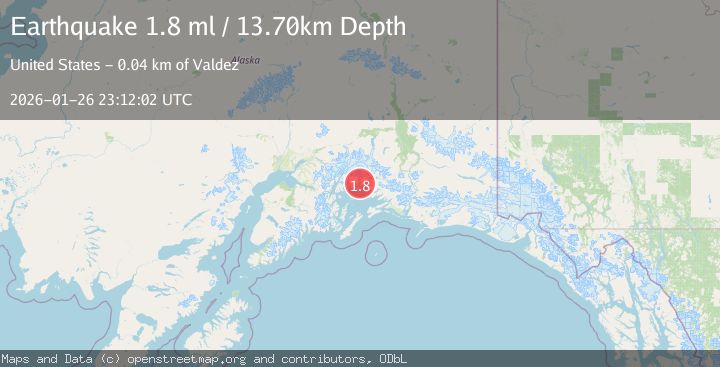
A 1.8 magnitude earthquake struck on 22 km NW of Tatitlek, Alaska, at Mon, 26 Jan 2026 23:12:02 GMT. Depth: 13.7km. Reviewed by USGS seismologists, this minor quake occurred at a magnitude type of ml.
Magnitude
1.8
ml
Source
USGS
Intensity
-
Agency Reports
1 Sources| Source | Magnitude | Depth | Time |
|---|---|---|---|
| USGSPrimary | 1.8 | 14 km | 11 hours ago |
Earthquake Details
ConfirmedEvent IDusgs_ak2026bvrhnr
Tsunami PotentialNo
Magnitude Typeml
Nearest Places
- Heather Island1.5 km
- Jade Harbor2.4 km
- Emerald Cove2.9 km
- Lutris Pass3.1 km
- Heather Bay3.1 km
Comments
Join the discussion about this event.
Latest Earthquakes
2.4Mag
NEVADA
Time7 minutes ago
Depth16.00 km
SourceNN (Automatic)
3.1Mag
Northern Molucca Sea
Time9 minutes ago
Depth31.63 km
SourceBMKG (Automatic)
2.1Mag
SOUTHERN ITALY
Time13 minutes ago
Depth10.00 km
SourceINGV (Automatic)
2.6Mag
Northern Sumatra, Indonesia
Time13 minutes ago
Depth0.60 km
SourceBMKG (Automatic)
2.1Mag
SOUTHERN TEXAS
Time14 minutes ago
Depth0.00 km
SourceTX (Automatic)
Nearby Earthquakes
2.1Mag
22 km WNW of Tatitlek, Alaska
Time22 hours ago
Depth20.30 km
SourceUSGS (Automatic)
4.4Mag
SOUTHERN ALASKA
Time23 hours ago
Depth20.00 km
SourceAK (Automatic)
3.2Mag
22 km WNW of Tatitlek, Alaska
Time4 days ago
Depth18.30 km
SourceUSGS (Automatic)
1.8Mag
15 km NNW of Tatitlek, Alaska
Time12 hours ago
Depth8.00 km
SourceUSGS (Automatic)
3.5Mag
45 km NW of Tatitlek, Alaska
Time48 minutes ago
Depth13.60 km
SourceUSGS (Automatic)