Earthquake 6 km NNE of Four Mile Road, Alaska
Tue, 17 Feb 2026 13:59:31 GMT
Time19 hours ago
Location
64.6620, -149.0880
Depth
2.0 KM
Event Summary
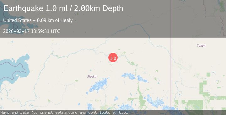
A 1.0 magnitude earthquake struck on 6 km NNE of Four Mile Road, Alaska, at Tue, 17 Feb 2026 13:59:31 GMT. Depth: 2km. Reviewed by USGS seismologists, this minor quake occurred at a magnitude type of ml.
Magnitude
1.0
ml
Source
USGS
Intensity
-
Agency Reports
1 Sources| Source | Magnitude | Depth | Time |
|---|---|---|---|
| USGSPrimary | 1.0 | 2 km | 19 hours ago |
Earthquake Details
AutomaticEvent IDusgs_ak2026djiyuz
Tsunami PotentialNo
Magnitude Typeml
Nearest Places
- Nunivak Slough2.0 km
- Berg3.5 km
- West Middle River4.8 km
- Beth T'otono Dochaget5.0 km
- Mahon5.1 km
Comments
Join the discussion about this event.
Latest Earthquakes
1.5Mag
Southern Alaska
Time17 hours ago
Depth67.26 km
SourceVYT (Automatic)
2.4Mag
Northern Sumatra, Indonesia
Time17 hours ago
Depth8.31 km
SourceBMKG
1.2Mag
10 km NW of The Geysers, CA
Time17 hours ago
Depth1.41 km
SourceUSGS (Automatic)
1.0Mag
Southern Alaska
Time17 hours ago
Depth14.53 km
SourceVYT (Automatic)
3.5Mag
Kepulauan Mentawai region, Indonesia
Time17 hours ago
Depth29.42 km
SourceVYT (Automatic)
Nearby Earthquakes
2.2Mag
8 km N of Four Mile Road, Alaska
Time3 weeks ago
Depth19.90 km
SourceUSGS (Automatic)
0.8Mag
4 km NNW of Four Mile Road, Alaska
Time2 weeks ago
Depth19.10 km
SourceUSGS (Automatic)
3.0Mag
CENTRAL ALASKA
Time6 months ago
Depth12.60 km
SourceNEIC (Automatic)
1.9Mag
Central Alaska
Time3 days ago
Depth17.70 km
SourceVYT (Automatic)
1.0Mag
14 km N of Four Mile Road, Alaska
Time1 week ago
Depth5.50 km
SourceUSGS (Automatic)