Earthquake 14 km NNW of Four Mile Road, Alaska
Wed, 28 Jan 2026 23:55:51 GMT
Time9 hours ago
Location
64.7190, -149.2520
Depth
19.3 KM
Event Summary
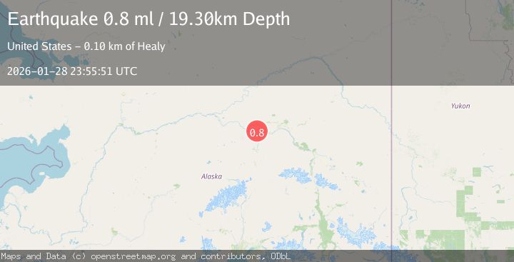
A 0.8 magnitude earthquake struck on 14 km NNW of Four Mile Road, Alaska, at Wed, 28 Jan 2026 23:55:51 GMT. Depth: 19.3km. Reviewed by USGS seismologists, this minor quake occurred at a magnitude type of ml.
Magnitude
0.8
ml
Source
USGS
Intensity
-
Agency Reports
1 Sources| Source | Magnitude | Depth | Time |
|---|---|---|---|
| USGSPrimary | 0.8 | 19 km | 9 hours ago |
Earthquake Details
AutomaticEvent IDusgs_ak2026bzkfbv
Tsunami PotentialNo
Magnitude Typeml
Nearest Places
- Linder Lakes3.7 km
- Soldier Slough5.2 km
- Sawmill Island5.7 km
- Totchaket Slough7.9 km
- Nunivak Slough8.4 km
Comments
Join the discussion about this event.
Latest Earthquakes
2.1Mag
FRANCE
Time4 minutes ago
Depth10.10 km
SourceReNaSS (Automatic)
1.4Mag
21 km NNE of Indio, CA
Time7 minutes ago
Depth5.15 km
SourceUSGS (Automatic)
1.8Mag
17 km NE of Girdwood, Alaska
Time10 minutes ago
Depth5.00 km
SourceUSGS (Automatic)
2.8Mag
Java, Indonesia
Time15 minutes ago
Depth24.37 km
SourceBMKG (Automatic)
0.8Mag
4 km NW of The Geysers, CA
Time28 minutes ago
Depth2.91 km
SourceUSGS (Automatic)
Nearby Earthquakes
2.2Mag
8 km N of Four Mile Road, Alaska
Time3 days ago
Depth19.90 km
SourceUSGS (Automatic)
0.7Mag
22 km NE of Four Mile Road, Alaska
Time2 days ago
Depth28.90 km
SourceUSGS (Automatic)
1.6Mag
29 km SE of Minto, Alaska
Time2 days ago
Depth23.20 km
SourceUSGS (Automatic)
1.3Mag
12 km SSE of Nenana, Alaska
Time2 days ago
Depth1.80 km
SourceUSGS (Automatic)
0.6Mag
31 km ESE of Minto, Alaska
Time3 days ago
Depth9.80 km
SourceUSGS (Automatic)