Earthquake 55 km SSE of King Salmon, Alaska
Sat, 07 Feb 2026 07:49:49 GMT
Time1 hour ago
Location
58.2040, -156.4070
Depth
5.0 KM
Event Summary
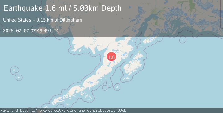
A 1.6 magnitude earthquake struck on 55 km SSE of King Salmon, Alaska, at Sat, 07 Feb 2026 07:49:49 GMT. Depth: 5km. Reviewed by USGS seismologists, this minor quake occurred at a magnitude type of ml.
Magnitude
1.6
ml
Source
USGS
Intensity
-
Agency Reports
1 Sources| Source | Magnitude | Depth | Time |
|---|---|---|---|
| USGSPrimary | 1.6 | 5 km | 1 hour ago |
Earthquake Details
AutomaticEvent IDusgs_ak2026cqnlla
Tsunami PotentialNo
Magnitude Typeml
Nearest Places
- Granite Creek8.2 km
- Gertrude Creek12.1 km
- Whale Mountain18.1 km
- Takayofo Creek23.9 km
- Contact Creek23.9 km
Comments
Join the discussion about this event.
Latest Earthquakes
0.0Mag
17 km S of Valle Vista, CA
Time11 minutes ago
Depth4.34 km
SourceUSGS (Automatic)
1.3Mag
NORTHERN ITALY
Time18 minutes ago
Depth10.00 km
SourceOGS (Automatic)
2.0Mag
STRAIT OF GIBRALTAR
Time31 minutes ago
Depth15.20 km
SourceIGN (Automatic)
2.1Mag
20 km W of Anchor Point, Alaska
Time33 minutes ago
Depth66.90 km
SourceUSGS (Automatic)
2.4Mag
Northern Sumatra, Indonesia
Time34 minutes ago
Depth10.00 km
SourceBMKG (Automatic)
Nearby Earthquakes
1.4Mag
56 km E of Egegik, Alaska
Time22 hours ago
Depth12.20 km
SourceUSGS (Automatic)
1.5Mag
57 km SSE of King Salmon, Alaska
Time7 hours ago
Depth10.40 km
SourceUSGS (Automatic)
1.4Mag
57 km E of Egegik, Alaska
Time20 hours ago
Depth17.70 km
SourceUSGS (Automatic)
1.9Mag
58 km SSE of King Salmon, Alaska
Time1 day ago
Depth5.00 km
SourceUSGS (Automatic)
1.4Mag
61 km E of Egegik, Alaska
Time1 day ago
Depth10.70 km
SourceUSGS