Earthquake 14 km NW of Four Mile Road, Alaska
Fri, 20 Feb 2026 11:29:32 GMT
Time2 hours ago
Location
64.7020, -149.3210
Depth
5.0 KM
Event Summary
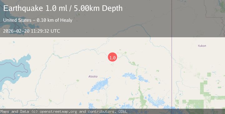
A 1.0 magnitude earthquake struck on 14 km NW of Four Mile Road, Alaska, at Fri, 20 Feb 2026 11:29:32 GMT. Depth: 5km. Reviewed by USGS seismologists, this minor quake occurred at a magnitude type of ml.
Magnitude
1.0
ml
Source
USGS
Intensity
-
Agency Reports
1 Sources| Source | Magnitude | Depth | Time |
|---|---|---|---|
| USGSPrimary | 1.0 | 5 km | 2 hours ago |
Earthquake Details
AutomaticEvent IDusgs_aka2026dorefb
Tsunami PotentialNo
Magnitude Typeml
Nearest Places
- Linder Lakes6.2 km
- Soldier Slough8.5 km
- Sawmill Island9.3 km
- Nunivak Slough10.0 km
- Totchaket Slough11.1 km
Comments
Join the discussion about this event.
Latest Earthquakes
3.3Mag
Jujuy, Argentina
Time1 hour ago
Depth295.78 km
SourceVYT (Automatic)
3.0Mag
Texas-Chihuahua border region
Time1 hour ago
Depth0.00 km
SourceVYT (Automatic)
3.1Mag
Antofagasta, Chile
Time1 hour ago
Depth123.29 km
SourceVYT (Automatic)
1.3Mag
4 km W of Lake Henshaw, CA
Time1 hour ago
Depth11.95 km
SourceUSGS (Automatic)
1.9Mag
Antofagasta, Chile
Time1 hour ago
Depth0.00 km
SourceVYT (Automatic)
Nearby Earthquakes
0.8Mag
14 km NNW of Four Mile Road, Alaska
Time3 weeks ago
Depth19.30 km
SourceUSGS (Automatic)
2.2Mag
8 km N of Four Mile Road, Alaska
Time3 weeks ago
Depth19.90 km
SourceUSGS (Automatic)
1.9Mag
Central Alaska
Time5 days ago
Depth17.70 km
SourceVYT (Automatic)
0.8Mag
4 km NNW of Four Mile Road, Alaska
Time2 weeks ago
Depth19.10 km
SourceUSGS (Automatic)
1.2Mag
6 km W of Four Mile Road, Alaska
Time3 days ago
Depth5.00 km
SourceUSGS (Automatic)