Earthquake 53 km WNW of Tatitlek, Alaska
Sun, 22 Feb 2026 06:11:18 GMT
Time1 hour ago
Location
61.1250, -147.5190
Depth
14.3 KM
Event Summary
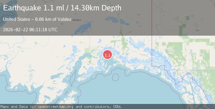
A 1.1 magnitude earthquake struck on 53 km WNW of Tatitlek, Alaska, at Sun, 22 Feb 2026 06:11:18 GMT. Depth: 14.3km. Reviewed by USGS seismologists, this minor quake occurred at a magnitude type of ml.
Magnitude
1.1
ml
Source
USGS
Intensity
-
Agency Reports
1 Sources| Source | Magnitude | Depth | Time |
|---|---|---|---|
| USGSPrimary | 1.1 | 14 km | 1 hour ago |
Earthquake Details
AutomaticEvent IDusgs_aka2026drybta
Tsunami PotentialNo
Magnitude Typeml
Nearest Places
- 3.2 km
- 4.1 km
- 6.0 km
- 6.4 km
- 6.4 km
Comments
Join the discussion about this event.
Latest Earthquakes
1.0Mag
2 km ENE of The Geysers, CA
Time1 hour ago
Depth0.09 km
SourceUSGS (Automatic)
2.4Mag
Sweden
Time1 hour ago
Depth10.00 km
SourceVYT (Automatic)
3.4Mag
Papua, Indonesia
Time1 hour ago
Depth0.00 km
SourceVYT (Automatic)
2.3Mag
Flores Region, Indonesia
Time1 hour ago
Depth152.61 km
SourceBMKG
1.9Mag
6 km NE of Pāhala, Hawaii
Time1 hour ago
Depth29.78 km
SourceUSGS (Automatic)
Nearby Earthquakes
1.3Mag
Southern Alaska
Time1 week ago
Depth3.17 km
SourceVYT (Automatic)
1.1Mag
55 km WNW of Tatitlek, Alaska
Time10 hours ago
Depth20.40 km
SourceUSGS (Automatic)
1.5Mag
52 km WNW of Tatitlek, Alaska
Time1 month ago
Depth7.30 km
SourceUSGS (Automatic)
1.4Mag
Southern Alaska
Time2 days ago
Depth0.00 km
SourceVYT (Automatic)
1.4Mag
51 km NW of Tatitlek, Alaska
Time3 weeks ago
Depth14.40 km
SourceUSGS (Automatic)