Earthquake 51 km NW of Tatitlek, Alaska
Sun, 01 Feb 2026 01:20:09 GMT
Time1 day ago
Location
61.1360, -147.4540
Depth
14.4 KM
Event Summary
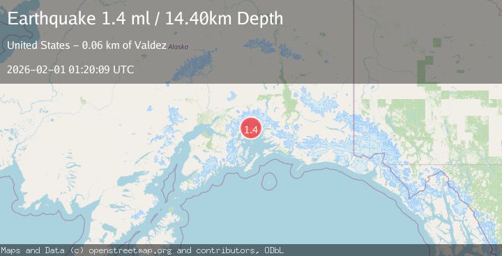
A 1.4 magnitude earthquake struck on 51 km NW of Tatitlek, Alaska, at Sun, 01 Feb 2026 01:20:09 GMT. Depth: 14.4km. Reviewed by USGS seismologists, this minor quake occurred at a magnitude type of ml.
Magnitude
1.4
ml
Source
USGS
Intensity
-
Agency Reports
1 Sources| Source | Magnitude | Depth | Time |
|---|---|---|---|
| USGSPrimary | 1.4 | 14 km | 1 day ago |
Earthquake Details
AutomaticEvent IDusgs_ak2026cfaejg
Tsunami PotentialNo
Magnitude Typeml
Nearest Places
- Brilliant Glacier0.7 km
- Ranney Creek4.3 km
- Mount Grosvenor5.6 km
- Miners Lake6.2 km
- Pedro Glacier7.6 km
Comments
Join the discussion about this event.
Latest Earthquakes
2.3Mag
Sulawesi, Indonesia
Time6 minutes ago
Depth6.12 km
SourceBMKG (Automatic)
1.8Mag
68 km ESE of Cantwell, Alaska
Time8 minutes ago
Depth2.20 km
SourceUSGS (Automatic)
1.5Mag
13 km E of Pearsall, Texas
Time29 minutes ago
Depth8.04 km
SourceUSGS (Automatic)
3.0Mag
Southern Sumatra, Indonesia
Time32 minutes ago
Depth10.00 km
SourceBMKG (Automatic)
1.2Mag
24 km NE of Minto, Alaska
Time32 minutes ago
Depth6.60 km
SourceUSGS (Automatic)
Nearby Earthquakes
1.5Mag
52 km WNW of Tatitlek, Alaska
Time1 week ago
Depth7.30 km
SourceUSGS (Automatic)
1.4Mag
50 km WNW of Tatitlek, Alaska
Time2 days ago
Depth22.00 km
SourceUSGS (Automatic)
1.8Mag
48 km NW of Tatitlek, Alaska
Time3 days ago
Depth17.40 km
SourceUSGS (Automatic)
1.3Mag
47 km WNW of Tatitlek, Alaska
Time1 week ago
Depth5.00 km
SourceUSGS (Automatic)
3.5Mag
45 km NW of Tatitlek, Alaska
Time6 days ago
Depth13.60 km
SourceUSGS (Automatic)