Earthquake 93 km NW of Yakutat, Alaska
Mon, 23 Feb 2026 04:37:23 GMT
Time1 hour ago
Location
60.2390, -140.6690
Depth
27.0 KM
Event Summary
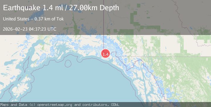
A 1.4 magnitude earthquake struck on 93 km NW of Yakutat, Alaska, at Mon, 23 Feb 2026 04:37:23 GMT. Depth: 27km. Reviewed by USGS seismologists, this minor quake occurred at a magnitude type of ml.
Magnitude
1.4
ml
Source
USGS
Intensity
-
Agency Reports
1 Sources| Source | Magnitude | Depth | Time |
|---|---|---|---|
| USGSPrimary | 1.4 | 27 km | 1 hour ago |
Earthquake Details
AutomaticEvent IDusgs_aka2026dtqrro
Tsunami PotentialNo
Magnitude Typeml
Nearest Places
- 1.1 km
- 5.6 km
- 6.3 km
- 7.1 km
- 8.0 km
Comments
Join the discussion about this event.
Latest Earthquakes
2.1Mag
Washington
Time1 hour ago
Depth25.39 km
SourceVYT (Automatic)
1.3Mag
EASTERN TURKEY
Time1 hour ago
Depth12.00 km
SourceAFAD (Automatic)
3.3Mag
Southeastern Alaska
Time1 hour ago
Depth14.40 km
SourceVYT (Automatic)
3.6Mag
DODECANESE ISLANDS, GREECE
Time1 hour ago
Depth5.00 km
SourceTHE (Automatic)
3.0Mag
Minahassa Peninsula, Sulawesi
Time1 hour ago
Depth89.03 km
SourceBMKG
Nearby Earthquakes
2.3Mag
Southeastern Alaska
Time9 hours ago
Depth15.99 km
SourceVYT (Automatic)
1.4Mag
102 km NW of Yakutat, Alaska
Time1 week ago
Depth18.30 km
SourceUSGS (Automatic)
1.6Mag
102 km NW of Yakutat, Alaska
Time0 months ago
Depth15.10 km
SourceUSGS (Automatic)
1.6Mag
98 km NW of Yakutat, Alaska
Time2 weeks ago
Depth23.10 km
SourceUSGS (Automatic)
3.3Mag
Southeastern Alaska
Time1 hour ago
Depth14.40 km
SourceVYT (Automatic)