Earthquake 102 km NW of Yakutat, Alaska
Mon, 09 Feb 2026 09:57:35 GMT
Time1 hour ago
Location
60.2930, -140.7910
Depth
18.3 KM
Event Summary
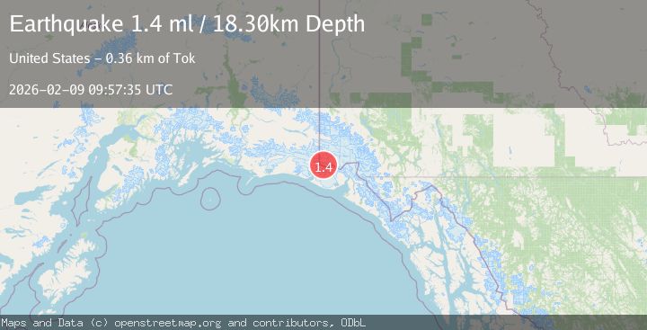
A 1.4 magnitude earthquake struck on 102 km NW of Yakutat, Alaska, at Mon, 09 Feb 2026 09:57:35 GMT. Depth: 18.3km. Reviewed by USGS seismologists, this minor quake occurred at a magnitude type of ml.
Magnitude
1.4
ml
Source
USGS
Intensity
-
Agency Reports
1 Sources| Source | Magnitude | Depth | Time |
|---|---|---|---|
| USGSPrimary | 1.4 | 18 km | 1 hour ago |
Earthquake Details
AutomaticEvent IDusgs_ak2026cujdhd
Tsunami PotentialNo
Magnitude Typeml
Nearest Places
- Boundary Peak 1853.7 km
- Newton Glacier4.0 km
- Mount Newton4.9 km
- Mount Jeannette5.7 km
- Russell Col6.7 km
Comments
Join the discussion about this event.
Latest Earthquakes
3.0Mag
MINDANAO, PHILIPPINES
Time1 hour ago
Depth34.00 km
SourcePIVS (Automatic)
2.9Mag
Minahassa Peninsula, Sulawesi
Time1 hour ago
Depth160.17 km
SourceBMKG (Automatic)
2.6Mag
TARAPACA, CHILE
Time1 hour ago
Depth31.30 km
SourceCSN (Automatic)
2.1Mag
Java, Indonesia
Time1 hour ago
Depth3.29 km
SourceBMKG (Automatic)
2.7Mag
GREECE
Time1 hour ago
Depth18.30 km
SourceNOA (Automatic)
Nearby Earthquakes
1.6Mag
102 km NW of Yakutat, Alaska
Time2 weeks ago
Depth15.10 km
SourceUSGS (Automatic)
1.6Mag
98 km NW of Yakutat, Alaska
Time3 days ago
Depth23.10 km
SourceUSGS (Automatic)
1.9Mag
104 km NW of Yakutat, Alaska
Time12 hours ago
Depth5.00 km
SourceUSGS (Automatic)
1.5Mag
97 km NW of Yakutat, Alaska
Time1 day ago
Depth1.80 km
SourceUSGS (Automatic)
2.2Mag
110 km NW of Yakutat, Alaska
Time2 weeks ago
Depth16.90 km
SourceUSGS (Automatic)