Earthquake 79 km N of Karluk, Alaska
Mon, 23 Feb 2026 12:11:57 GMT
Time1 hour ago
Location
58.2850, -154.5380
Depth
88.3 KM
Event Summary
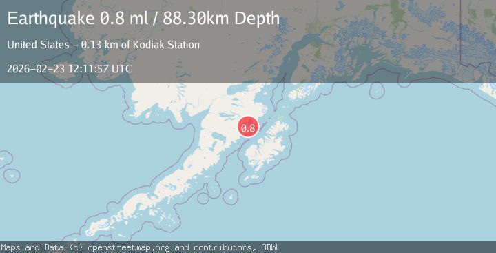
A 0.8 magnitude earthquake struck on 79 km N of Karluk, Alaska, at Mon, 23 Feb 2026 12:11:57 GMT. Depth: 88.3km. Reviewed by USGS seismologists, this minor quake occurred at a magnitude type of ml.
Magnitude
0.8
ml
Source
USGS
Intensity
-
Agency Reports
1 Sources| Source | Magnitude | Depth | Time |
|---|---|---|---|
| USGSPrimary | 0.8 | 88 km | 1 hour ago |
Earthquake Details
AutomaticEvent IDusgs_aka2026duftki
Tsunami PotentialNo
Magnitude Typeml
Nearest Places
- 9.9 km
- 10.1 km
- 11.0 km
- 12.4 km
- 15.2 km
Comments
Join the discussion about this event.
Latest Earthquakes
3.3Mag
Fox Islands, Aleutian Islands, Alaska
Time1 hour ago
Depth0.00 km
SourceVYT (Automatic)
0.6Mag
1 km NNE of The Geysers, CA
Time1 hour ago
Depth2.10 km
SourceUSGS (Automatic)
2.8Mag
Fox Islands, Aleutian Islands, Alaska
Time1 hour ago
Depth3.05 km
SourceVYT (Automatic)
2.7Mag
Flores Region, Indonesia
Time1 hour ago
Depth8.73 km
SourceBMKG
2.8Mag
MOLUCCA SEA
Time1 hour ago
Depth14.00 km
SourceBMKG (Automatic)
Nearby Earthquakes
3.0Mag
ALASKA PENINSULA
Time5 years ago
Depth10.00 km
SourceNEIC (Automatic)
1.1Mag
87 km N of Karluk, Alaska
Time5 days ago
Depth5.00 km
SourceUSGS (Automatic)
1.8Mag
ALASKA PENINSULA
Time1 month ago
Depth4.40 km
SourceAV (Automatic)
2.1Mag
70 km N of Karluk, Alaska
Time3 weeks ago
Depth97.30 km
SourceUSGS (Automatic)
1.0Mag
81 km NNW of Karluk, Alaska
Time6 days ago
Depth29.80 km
SourceUSGS (Automatic)