Earthquake 70 km N of Karluk, Alaska
Thu, 29 Jan 2026 17:47:07 GMT
Time3 hours ago
Location
58.1900, -154.6360
Depth
97.3 KM
Event Summary
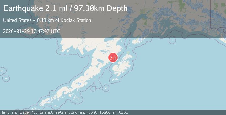
A 2.1 magnitude earthquake struck on 70 km N of Karluk, Alaska, at Thu, 29 Jan 2026 17:47:07 GMT. Depth: 97.3km. Reviewed by USGS seismologists, this minor quake occurred at a magnitude type of ml.
Magnitude
2.1
ml
Source
USGS
Intensity
-
Agency Reports
1 Sources| Source | Magnitude | Depth | Time |
|---|---|---|---|
| USGSPrimary | 2.1 | 97 km | 3 hours ago |
Earthquake Details
AutomaticEvent IDusgs_ak2026catsfu
Tsunami PotentialNo
Magnitude Typeml
Nearest Places
- Hagelbargers Pass2.5 km
- Hidden Harbor8.4 km
- Geographic Harbor9.2 km
- Dakavak Lake9.7 km
- Spectacle Lake11.7 km
Comments
Join the discussion about this event.
Latest Earthquakes
1.0Mag
8 km WSW of Idyllwild, CA
Time4 hours ago
Depth14.36 km
SourceUSGS (Automatic)
2.6Mag
Minahassa Peninsula, Sulawesi
Time4 hours ago
Depth4.84 km
SourceBMKG (Automatic)
1.3Mag
6 km WSW of Gilroy, CA
Time4 hours ago
Depth4.77 km
SourceUSGS (Automatic)
2.4Mag
50 km SW of Fort Greely, Alaska
Time4 hours ago
Depth5.00 km
SourceUSGS (Automatic)
3.2Mag
Southern Sumatra, Indonesia
Time4 hours ago
Depth23.74 km
SourceBMKG (Automatic)
Nearby Earthquakes
1.5Mag
61 km N of Karluk, Alaska
Time3 days ago
Depth83.80 km
SourceUSGS (Automatic)
1.3Mag
60 km NNW of Karluk, Alaska
Time2 days ago
Depth5.00 km
SourceUSGS (Automatic)
0.8Mag
80 km NNW of Karluk, Alaska
Time1 day ago
Depth5.00 km
SourceUSGS (Automatic)
1.0Mag
83 km NNW of Karluk, Alaska
Time16 hours ago
Depth5.00 km
SourceUSGS (Automatic)
0.9Mag
79 km NNW of Karluk, Alaska
Time3 days ago
Depth5.00 km
SourceUSGS (Automatic)