Earthquake 57 km NNW of Karluk, Alaska
Mon, 23 Feb 2026 22:56:18 GMT
Time1 hour ago
Location
58.0350, -154.8760
Depth
29.9 KM
Event Summary
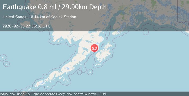
A 0.8 magnitude earthquake struck on 57 km NNW of Karluk, Alaska, at Mon, 23 Feb 2026 22:56:18 GMT. Depth: 29.9km. Reviewed by USGS seismologists, this minor quake occurred at a magnitude type of ml.
Magnitude
0.8
ml
Source
USGS
Intensity
-
Agency Reports
1 Sources| Source | Magnitude | Depth | Time |
|---|---|---|---|
| USGSPrimary | 0.8 | 30 km | 1 hour ago |
Earthquake Details
AutomaticEvent IDusgs_aka2026dvbcrh
Tsunami PotentialNo
Magnitude Typeml
Nearest Places
- 0.1 km
- 3.3 km
- 3.6 km
- 3.8 km
- 4.3 km
Comments
Join the discussion about this event.
Latest Earthquakes
2.6Mag
New Mexico
Time55 minutes ago
Depth8.30 km
SourceVYT (Automatic)
2.5Mag
Papua, Indonesia
Time57 minutes ago
Depth128.30 km
SourceVYT (Automatic)
2.2Mag
Southern Alaska
Time58 minutes ago
Depth50.66 km
SourceVYT (Automatic)
0.9Mag
WESTERN TURKEY
Time58 minutes ago
Depth7.00 km
SourceAFAD (Automatic)
3.4Mag
Salta, Argentina
Time59 minutes ago
Depth197.88 km
SourceVYT (Automatic)
Nearby Earthquakes
1.3Mag
Kodiak Island region, Alaska
Time1 week ago
Depth33.20 km
SourceVYT (Automatic)
1.3Mag
60 km NNW of Karluk, Alaska
Time0 months ago
Depth5.00 km
SourceUSGS (Automatic)
1.6Mag
Alaska Peninsula
Time1 week ago
Depth50.42 km
SourceVYT (Automatic)
2.8Mag
KODIAK ISLAND REGION, ALASKA
Time2 months ago
Depth77.40 km
SourceNEIC (Automatic)
2.4Mag
ALASKA PENINSULA
Time1 month ago
Depth91.10 km
SourceNEIC (Automatic)