Earthquake 118 km NW of Yakutat, Alaska
Tue, 24 Feb 2026 18:07:15 GMT
Time5 days ago
Location
60.3270, -141.1630
Depth
16.9 KM
Event Summary
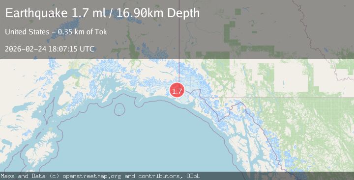
A 1.7 magnitude earthquake struck on 118 km NW of Yakutat, Alaska, at Tue, 24 Feb 2026 18:07:15 GMT. Depth: 16.9km. Reviewed by USGS seismologists, this minor quake occurred at a magnitude type of ml.
Magnitude
1.7
ml
Source
USGS
Intensity
-
Agency Reports
1 Sources| Source | Magnitude | Depth | Time |
|---|---|---|---|
| USGSPrimary | 1.7 | 17 km | 5 days ago |
Earthquake Details
ConfirmedEvent IDusgs_aka2026dwnglm
Tsunami PotentialNo
Magnitude Typeml
Nearest Places
- 0.7 km
- 4.2 km
- 4.7 km
- 9.4 km
- 9.8 km
Comments
Join the discussion about this event.
Latest Earthquakes
0.9Mag
Southern Alaska
Time1 hour ago
Depth1.71 km
SourceVYT (Automatic)
1.8Mag
Alaska Peninsula
Time2 hours ago
Depth2.08 km
SourceVYT (Automatic)
2.4Mag
Albania
Time2 hours ago
Depth0.00 km
SourceVYT (Automatic)
1.3Mag
Azerbaijan
Time2 hours ago
Depth18.55 km
SourceVYT (Automatic)
2.0Mag
76 km ENE of Tonopah, Nevada
Time2 hours ago
Depth7.78 km
SourceUSGS (Automatic)
Nearby Earthquakes
1.4Mag
Southeastern Alaska
Time2 weeks ago
Depth23.56 km
SourceVYT (Automatic)
3.0Mag
SOUTHERN ALASKA
Time2 years ago
Depth2.50 km
SourceAK (Automatic)
1.1Mag
Southeastern Alaska
Time2 weeks ago
Depth0.00 km
SourceVYT (Automatic)
1.8Mag
124 km NW of Yakutat, Alaska
Time2 days ago
Depth17.00 km
SourceUSGS
2.0Mag
Southeastern Alaska
Time1 week ago
Depth19.90 km
SourceVYT (Automatic)