Earthquake 116 km N of Yakutat, Alaska
Tue, 24 Feb 2026 22:05:28 GMT
Time3 days ago
Location
60.5830, -139.9980
Depth
11.2 KM
Event Summary
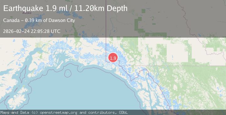
A 1.9 magnitude earthquake struck on 116 km N of Yakutat, Alaska, at Tue, 24 Feb 2026 22:05:28 GMT. Depth: 11.2km. Reviewed by USGS seismologists, this minor quake occurred at a magnitude type of ml.
Magnitude
1.9
ml
Source
USGS
Intensity
-
Agency Reports
1 Sources| Source | Magnitude | Depth | Time |
|---|---|---|---|
| USGSPrimary | 1.9 | 11 km | 3 days ago |
Earthquake Details
ConfirmedEvent IDusgs_aka2026dwvdsn
Tsunami PotentialNo
Magnitude Typeml
Nearest Places
- 7.9 km
- 12.0 km
- 12.9 km
- 15.7 km
- 22.3 km
Comments
Join the discussion about this event.
Latest Earthquakes
1.5Mag
Central Alaska
Time8 minutes ago
Depth53.71 km
SourceVYT (Automatic)
2.2Mag
Central California
Time8 minutes ago
Depth0.00 km
SourceVYT (Automatic)
0.9Mag
Southern Alaska
Time10 minutes ago
Depth2.81 km
SourceVYT (Automatic)
2.7Mag
Coquimbo, Chile
Time19 minutes ago
Depth8.91 km
SourceVYT (Automatic)
3.1Mag
Banda Sea
Time20 minutes ago
Depth205.55 km
SourceBMKG
Nearby Earthquakes
5.7Mag
SOUTHERN YUKON TERRITORY, CANADA
Time1 month ago
Depth2.30 km
SourceAK (Automatic)
2.5Mag
Southeastern Alaska
Time2 hours ago
Depth0.12 km
SourceVYT (Automatic)
1.3Mag
Southeastern Alaska
Time1 week ago
Depth7.20 km
SourceVYT (Automatic)
3.1Mag
SOUTHERN YUKON TERRITORY, CANADA
Time1 month ago
Depth5.00 km
SourceNEIC (Automatic)
2.2Mag
Southeastern Alaska
Time1 week ago
Depth0.00 km
SourceVYT (Automatic)