Earthquake Southeastern Alaska
Tue, 17 Feb 2026 23:57:40 GMT
Time9 hours ago
Location
60.5719, -140.0213
Depth
0.0 KM
Event Summary
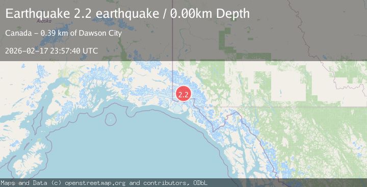
A 2.2 magnitude earthquake struck on Southeastern Alaska, at Tue, 17 Feb 2026 23:57:40 GMT. Depth: 0km. Reviewed by VYT seismologists, this minor quake occurred at a magnitude type of earthquake.
Magnitude
2.2
earthquake
Source
VYT
Intensity
-
Agency Reports
1 Sources| Source | Magnitude | Depth | Time |
|---|---|---|---|
| VYTPrimary | 2.2 | 0 km | 9 hours ago |
Earthquake Details
AutomaticEvent IDvyt_1m536pzhud8cm
Tsunami PotentialNo
Magnitude Typeearthquake
Nearest Places
- Marker Lake6.9 km
- McArthur Peak11.2 km
- Mount King George13.6 km
- Mount Queen Mary17.3 km
- Mount Logan21.0 km
Comments
Join the discussion about this event.
Latest Earthquakes
2.4Mag
Kodiak Island region, Alaska
Time9 hours ago
Depth54.08 km
SourceVYT (Automatic)
1.9Mag
Central Alaska
Time9 hours ago
Depth173.71 km
SourceVYT (Automatic)
2.8Mag
Halmahera, Indonesia
Time9 hours ago
Depth227.35 km
SourceBMKG
3.4Mag
Halmahera, Indonesia
Time9 hours ago
Depth144.90 km
SourceVYT (Automatic)
1.6Mag
36 km NW of Mentone, Texas
Time9 hours ago
Depth9.77 km
SourceUSGS (Automatic)
Nearby Earthquakes
3.1Mag
SOUTHERN YUKON TERRITORY, CANADA
Time1 month ago
Depth5.00 km
SourceNEIC (Automatic)
3.4Mag
SOUTHERN YUKON TERRITORY, CANADA
Time1 month ago
Depth5.00 km
SourceAK (Automatic)
3.0Mag
Southeastern Alaska
Time2 days ago
Depth0.00 km
SourceVYT (Automatic)
5.0Mag
SOUTHERN YUKON TERRITORY, CANADA
Time2 months ago
Depth10.00 km
SourceEMSC (Automatic)
2.7Mag
SOUTHERN YUKON TERRITORY, CANADA
Time1 month ago
Depth5.00 km
SourceNEIC (Automatic)