Earthquake 102 km NNW of Yakutat, Alaska
Sat, 28 Feb 2026 23:33:18 GMT
Time16 hours ago
Location
60.3390, -140.6590
Depth
6.6 KM
Event Summary
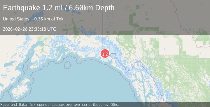
A 1.2 magnitude earthquake struck on 102 km NNW of Yakutat, Alaska, at Sat, 28 Feb 2026 23:33:18 GMT. Depth: 6.6km. Reviewed by USGS seismologists, this minor quake occurred at a magnitude type of ml.
Magnitude
1.2
ml
Source
USGS
Intensity
-
Agency Reports
1 Sources| Source | Magnitude | Depth | Time |
|---|---|---|---|
| USGSPrimary | 1.2 | 7 km | 16 hours ago |
Earthquake Details
AutomaticEvent IDusgs_aka2026eegyyf
Tsunami PotentialNo
Magnitude Typeml
Nearest Places
- 2.4 km
- 3.7 km
- 5.2 km
- 7.1 km
- 7.6 km
Comments
Join the discussion about this event.
Latest Earthquakes
2.3Mag
Antofagasta, Chile
Time13 hours ago
Depth51.15 km
SourceVYT (Automatic)
2.4Mag
Southern Alaska
Time13 hours ago
Depth105.22 km
SourceVYT (Automatic)
2.7Mag
Potosi, Bolivia
Time13 hours ago
Depth202.76 km
SourceVYT (Automatic)
1.6Mag
Southeastern Alaska
Time13 hours ago
Depth2.44 km
SourceVYT (Automatic)
1.1Mag
24 km E of Livengood, Alaska
Time13 hours ago
Depth6.20 km
SourceUSGS (Automatic)
Nearby Earthquakes
3.4Mag
Southeastern Alaska
Time6 days ago
Depth14.40 km
SourceVYT (Automatic)
1.6Mag
Southeastern Alaska
Time13 hours ago
Depth2.44 km
SourceVYT (Automatic)
1.7Mag
Southeastern Alaska
Time2 weeks ago
Depth0.00 km
SourceVYT (Automatic)
1.4Mag
102 km NW of Yakutat, Alaska
Time2 weeks ago
Depth18.30 km
SourceUSGS (Automatic)
1.6Mag
102 km NW of Yakutat, Alaska
Time1 month ago
Depth15.10 km
SourceUSGS (Automatic)