Earthquake Southeastern Alaska
Sat, 14 Feb 2026 03:30:41 GMT
Time4 days ago
Location
60.3136, -140.5617
Depth
0.0 KM
Event Summary
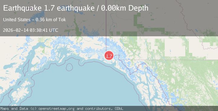
A 1.7 magnitude earthquake struck on Southeastern Alaska, at Sat, 14 Feb 2026 03:30:41 GMT. Depth: 0km. Reviewed by VYT seismologists, this minor quake occurred at a magnitude type of earthquake.
Magnitude
1.7
earthquake
Source
VYT
Intensity
-
Agency Reports
1 Sources| Source | Magnitude | Depth | Time |
|---|---|---|---|
| VYTPrimary | 1.7 | 0 km | 4 days ago |
Earthquake Details
AutomaticEvent IDvyt_2y1g1znnwxu0i
Tsunami PotentialNo
Magnitude Typeearthquake
Nearest Places
- Mount Malaspina0.9 km
- Mount Baird2.5 km
- Mount Bering3.8 km
- Mount Augusta5.7 km
- Mount Augusta6.0 km
Comments
Join the discussion about this event.
Latest Earthquakes
1.7Mag
Southern Alaska
Time12 hours ago
Depth31.01 km
SourceVYT (Automatic)
1.5Mag
41 km NW of Toyah, Texas
Time12 hours ago
Depth4.20 km
SourceUSGS (Automatic)
2.3Mag
Southeastern Alaska
Time12 hours ago
Depth0.00 km
SourceVYT (Automatic)
4.1Mag
Potosi, Bolivia
Time12 hours ago
Depth220.70 km
SourceVYT (Automatic)
1.9Mag
western Texas
Time12 hours ago
Depth9.77 km
SourceVYT (Automatic)
Nearby Earthquakes
6.0Mag
SOUTHERN YUKON TERRITORY, CANADA
Time11 years ago
Depth10.00 km
SourceNEIC (Automatic)
1.9Mag
Southeastern Alaska
Time2 days ago
Depth3.91 km
SourceVYT (Automatic)
1.4Mag
102 km NW of Yakutat, Alaska
Time1 week ago
Depth18.30 km
SourceUSGS (Automatic)
1.1Mag
Southeastern Alaska
Time5 days ago
Depth7.08 km
SourceVYT (Automatic)
1.6Mag
102 km NW of Yakutat, Alaska
Time3 weeks ago
Depth15.10 km
SourceUSGS (Automatic)