Earthquake 32 km N of Yucca Valley, CA
Thu, 01 Jan 2026 16:47:28 GMT
Time2 hours ago
Location
34.3995, -116.4502
Depth
4.4 KM
Event Summary
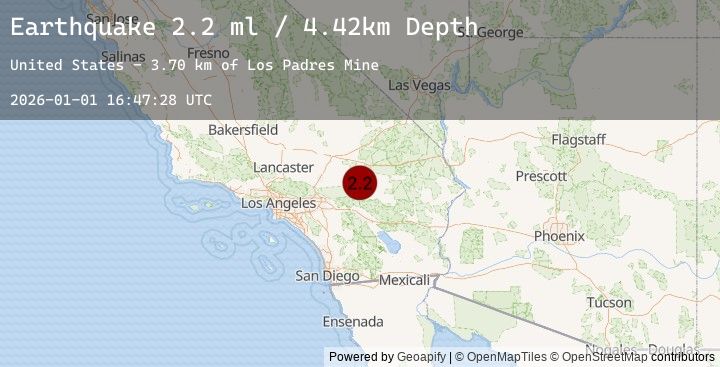
A 2.2 magnitude earthquake struck on 32 km N of Yucca Valley, CA, at Thu, 01 Jan 2026 16:47:28 GMT. Depth: 4.42000007629395km. Reviewed by USGS seismologists, this minor quake occurred at a magnitude type of ml.
Magnitude
2.2
ml
Source
USGS
Intensity
-
Earthquake Details
AutomaticEvent IDusgs_ci41150687
Tsunami PotentialNo
Magnitude Typeml
Nearest Places
- Los Padres Mine3.7 km
- Means Lake5.3 km
- Means Well6.0 km
- Blue Ribbon Mine6.4 km
- Emerson Lake7.3 km
Comments
Join the discussion about this event.
Latest Earthquakes
2.3Mag
Minahassa Peninsula, Sulawesi
Time18 minutes ago
Depth33.06 km
SourceBMKG (Automatic)
3.1Mag
West Papua Region, Indonesia
Time29 minutes ago
Depth10.00 km
SourceBMKG (Automatic)
3.6Mag
CRETE, GREECE
Time31 minutes ago
Depth31.70 km
SourceNOA (Automatic)
0.8Mag
12 km SE of Coalinga, CA
Time37 minutes ago
Depth8.03 km
SourceUSGS (Automatic)
3.5Mag
KEPULAUAN BARAT DAYA, INDONESIA
Time39 minutes ago
Depth141.00 km
SourceBMKG (Automatic)
Nearby Earthquakes
2.2Mag
SOUTHERN CALIFORNIA
Time2 hours ago
Depth4.40 km
SourceSCSN (Automatic)
1.8Mag
7 km NNW of Big Bear Lake, CA
Time4 hours ago
Depth1.09 km
SourceUSGS (Automatic)
0.3Mag
8 km SE of Winchester, CA
Time9 hours ago
Depth10.17 km
SourceUSGS (Automatic)
1.0Mag
3 km NNW of Fontana, CA
Time10 hours ago
Depth4.02 km
SourceUSGS (Automatic)
1.0Mag
3 km NNW of Fontana, CA
Time10 hours ago
Depth2.30 km
SourceUSGS (Automatic)