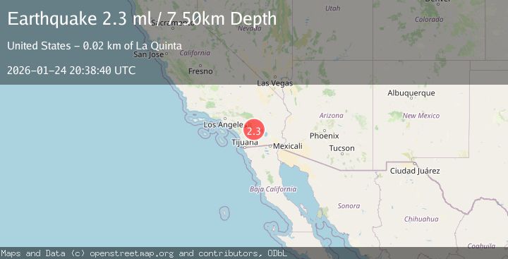
Earthquake 21 km SSW of La Quinta, CA
Sat, 24 Jan 2026 20:20:32 GMT
Time2 days ago
Location
33.5032, -116.4340
Depth
9.3 KM
Event Summary
A 2.3 magnitude earthquake struck on 21 km SSW of La Quinta, CA, at Sat, 24 Jan 2026 20:20:32 GMT. Depth: 9.3100004196167km. Reviewed by USGS seismologists, this minor quake occurred at a magnitude type of ml.
Magnitude
2.3
ml
Source
USGS
Intensity
-
Agency Reports
2 Sources| Source | Magnitude | Depth | Time |
|---|---|---|---|
| USGSPrimary | 2.3 | 8 km | 2 days ago |
| SCSN | 2.3 | 8 km | 2 days ago |
Earthquake Details
AutomaticEvent IDusgs_ci41171151
Tsunami PotentialNo
Magnitude Typeml
Nearest Places
- Toro Spring0.8 km
- Toro Peak2.4 km
- Virgin Spring3.0 km
- Cedar Spring3.7 km
- Stump Spring Campground3.9 km
Comments
Join the discussion about this event.
Latest Earthquakes
1.4Mag
41 km NW of Toyah, Texas
Time5 minutes ago
Depth2.74 km
SourceUSGS (Automatic)
2.0Mag
Sumbawa Region, Indonesia
Time10 minutes ago
Depth107.77 km
SourceBMKG (Automatic)
1.7Mag
26 km WNW of Ludlow, CA
Time14 minutes ago
Depth1.36 km
SourceUSGS (Automatic)
3.1Mag
HAITI REGION
Time17 minutes ago
Depth7.00 km
SourceAYIT (Automatic)
2.6Mag
PUERTO RICO
Time22 minutes ago
Depth16.10 km
SourcePR (Automatic)
Nearby Earthquakes
1.4Mag
23 km SSW of La Quinta, CA
Time1 day ago
Depth14.11 km
SourceUSGS (Automatic)
1.4Mag
17 km ESE of Anza, CA
Time2 days ago
Depth13.29 km
SourceUSGS (Automatic)
1.9Mag
16 km ESE of Anza, CA
Time2 days ago
Depth13.37 km
SourceUSGS (Automatic)
1.2Mag
12 km N of Borrego Springs, CA
Time23 hours ago
Depth14.78 km
SourceUSGS (Automatic)
1.8Mag
12 km SSE of Anza, CA
Time1 day ago
Depth8.58 km
SourceUSGS (Automatic)