Earthquake 15 km ENE of Ridgecrest, CA
Tue, 27 Jan 2026 02:46:07 GMT
Time7 hours ago
Location
35.6658, -117.5228
Depth
7.7 KM
Event Summary
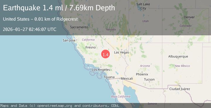
A 1.4 magnitude earthquake struck on 15 km ENE of Ridgecrest, CA, at Tue, 27 Jan 2026 02:46:07 GMT. Depth: 7.69000005722046km. Reviewed by USGS seismologists, this minor quake occurred at a magnitude type of ml.
Magnitude
1.4
ml
Source
USGS
Intensity
-
Agency Reports
1 Sources| Source | Magnitude | Depth | Time |
|---|---|---|---|
| USGSPrimary | 1.4 | 8 km | 7 hours ago |
Earthquake Details
AutomaticEvent IDusgs_ci41173351
Tsunami PotentialNo
Magnitude Typeml
Nearest Places
- Trona Water Pipeline1.6 km
- Salt Wells Valley1.7 km
- Skytop4.5 km
- The Y4.8 km
- Lone Butte6.9 km
Comments
Join the discussion about this event.
Latest Earthquakes
2.5Mag
Northern Sumatra, Indonesia
Time4 minutes ago
Depth0.60 km
SourceBMKG (Automatic)
2.1Mag
SOUTHERN TEXAS
Time4 minutes ago
Depth0.00 km
SourceTX (Automatic)
0.9Mag
EASTERN TURKEY
Time11 minutes ago
Depth6.80 km
SourceAFAD (Automatic)
2.4Mag
EASTERN TURKEY
Time14 minutes ago
Depth4.30 km
SourceKOERI (Automatic)
0.2Mag
6 km WNW of Cobb, CA
Time17 minutes ago
Depth1.56 km
SourceUSGS (Automatic)
Nearby Earthquakes
1.2Mag
14 km SW of Searles Valley, CA
Time1 day ago
Depth4.54 km
SourceUSGS (Automatic)
1.1Mag
12 km ENE of Ridgecrest, CA
Time3 days ago
Depth6.28 km
SourceUSGS (Automatic)
1.3Mag
15 km NE of Ridgecrest, CA
Time1 day ago
Depth10.03 km
SourceUSGS (Automatic)
1.3Mag
Central California
Time6 days ago
Depth8.95 km
SourceUSGS (Automatic)
1.7Mag
15 km WSW of Searles Valley, CA
Time1 day ago
Depth4.02 km
SourceUSGS (Automatic)