Earthquake 15 km NE of Ridgecrest, CA
Mon, 26 Jan 2026 03:18:24 GMT
Time1 day ago
Location
35.6972, -117.5430
Depth
10.0 KM
Event Summary
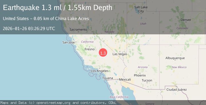
A 1.3 magnitude earthquake struck on 15 km NE of Ridgecrest, CA, at Mon, 26 Jan 2026 03:18:24 GMT. Depth: 10.0299997329712km. Reviewed by USGS seismologists, this minor quake occurred at a magnitude type of ml.
Magnitude
1.3
ml
Source
USGS
Intensity
-
Agency Reports
1 Sources| Source | Magnitude | Depth | Time |
|---|---|---|---|
| USGSPrimary | 1.3 | 2 km | 1 day ago |
Earthquake Details
AutomaticEvent IDusgs_ci41172359
Tsunami PotentialNo
Magnitude Typeml
Nearest Places
- Trona Water Pipeline2.8 km
- Skytop4.0 km
- Salt Wells Valley5.4 km
- Lone Butte6.1 km
- Lark Seep6.7 km
Comments
Join the discussion about this event.
Latest Earthquakes
1.4Mag
41 km NW of Toyah, Texas
Time6 minutes ago
Depth2.74 km
SourceUSGS (Automatic)
2.0Mag
Sumbawa Region, Indonesia
Time10 minutes ago
Depth107.77 km
SourceBMKG (Automatic)
1.7Mag
26 km WNW of Ludlow, CA
Time14 minutes ago
Depth1.36 km
SourceUSGS (Automatic)
3.1Mag
HAITI REGION
Time17 minutes ago
Depth7.00 km
SourceAYIT (Automatic)
2.6Mag
PUERTO RICO
Time23 minutes ago
Depth16.10 km
SourcePR (Automatic)
Nearby Earthquakes
1.3Mag
Central California
Time6 days ago
Depth8.95 km
SourceUSGS (Automatic)
1.4Mag
15 km ENE of Ridgecrest, CA
Time11 hours ago
Depth7.69 km
SourceUSGS (Automatic)
1.7Mag
15 km WSW of Searles Valley, CA
Time1 day ago
Depth4.02 km
SourceUSGS (Automatic)
1.2Mag
14 km SW of Searles Valley, CA
Time1 day ago
Depth4.54 km
SourceUSGS (Automatic)
1.1Mag
12 km ENE of Ridgecrest, CA
Time3 days ago
Depth6.28 km
SourceUSGS (Automatic)