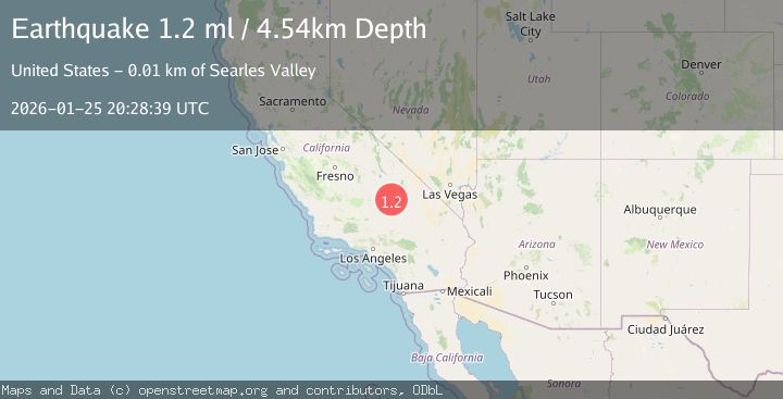
Earthquake 14 km SW of Searles Valley, CA
Sun, 25 Jan 2026 20:28:39 GMT
Time1 day ago
Location
35.6765, -117.5060
Depth
4.5 KM
Event Summary
A 1.2 magnitude earthquake struck on 14 km SW of Searles Valley, CA, at Sun, 25 Jan 2026 20:28:39 GMT. Depth: 4.53999996185303km. Reviewed by USGS seismologists, this minor quake occurred at a magnitude type of ml.
Magnitude
1.2
ml
Source
USGS
Intensity
-
Agency Reports
1 Sources| Source | Magnitude | Depth | Time |
|---|---|---|---|
| USGSPrimary | 1.2 | 5 km | 1 day ago |
Earthquake Details
AutomaticEvent IDusgs_ci41172127
Tsunami PotentialNo
Magnitude Typeml
Nearest Places
- Salt Wells Valley1.9 km
- Skytop2.8 km
- Trona Water Pipeline3.0 km
- The Y4.2 km
- Fish Head Rocks7.0 km
Comments
Join the discussion about this event.
Latest Earthquakes
3.7Mag
VALPARAISO, CHILE
Time5 minutes ago
Depth27.60 km
SourceCSN (Automatic)
2.0Mag
CENTRAL TURKEY
Time8 minutes ago
Depth23.50 km
SourceKOERI (Automatic)
3.2Mag
OFFSHORE EL SALVADOR
Time9 minutes ago
Depth28.00 km
SourceINET (Automatic)
3.1Mag
South of Java, Indonesia
Time10 minutes ago
Depth5.01 km
SourceBMKG (Automatic)
2.2Mag
Near North Coast of West Papua
Time13 minutes ago
Depth10.00 km
SourceBMKG (Automatic)
Nearby Earthquakes
1.4Mag
15 km ENE of Ridgecrest, CA
Time9 hours ago
Depth7.69 km
SourceUSGS (Automatic)
1.3Mag
15 km NE of Ridgecrest, CA
Time1 day ago
Depth10.03 km
SourceUSGS (Automatic)
1.1Mag
12 km ENE of Ridgecrest, CA
Time3 days ago
Depth6.28 km
SourceUSGS (Automatic)
1.3Mag
Central California
Time6 days ago
Depth8.95 km
SourceUSGS (Automatic)
1.7Mag
15 km WSW of Searles Valley, CA
Time1 day ago
Depth4.02 km
SourceUSGS (Automatic)