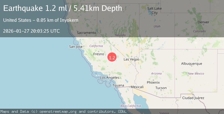
Earthquake 13 km WNW of Searles Valley, CA
Tue, 27 Jan 2026 19:06:08 GMT
Time2 hours ago
Location
35.8077, -117.5375
Depth
-0.1 KM
Event Summary
A 1.2 magnitude earthquake struck on 13 km WNW of Searles Valley, CA, at Tue, 27 Jan 2026 19:06:08 GMT. Depth: -0.1km. Reviewed by USGS seismologists, this minor quake occurred at a magnitude type of ml.
Magnitude
1.2
ml
Source
USGS
Intensity
-
Agency Reports
1 Sources| Source | Magnitude | Depth | Time |
|---|---|---|---|
| USGSPrimary | 1.2 | 5 km | 1 hour ago |
Earthquake Details
AutomaticEvent IDusgs_ci41173919
Tsunami PotentialNo
Magnitude Typeml
Nearest Places
- Burro Canyon Test Facility2.8 km
- Burro Canyon3.5 km
- Deadman Canyon5.3 km
- Sweetwater Wash5.7 km
- Sterling Queen Mine6.0 km
Comments
Join the discussion about this event.
Latest Earthquakes
1.0Mag
3 km WSW of Cobb, CA
Time9 minutes ago
Depth11.40 km
SourceUSGS (Automatic)
2.2Mag
69 km ENE of Pedro Bay, Alaska
Time12 minutes ago
Depth109.20 km
SourceUSGS (Automatic)
1.3Mag
37 km NW of Stanton, Texas
Time19 minutes ago
Depth8.80 km
SourceUSGS (Automatic)
2.5Mag
SOUTHERN ALASKA
Time19 minutes ago
Depth54.10 km
SourceAK (Automatic)
3.6Mag
Tanimbar Islands Region, Indonesia
Time22 minutes ago
Depth224.21 km
SourceBMKG (Automatic)
Nearby Earthquakes
0.6Mag
19 km NNE of Ridgecrest, CA
Time3 days ago
Depth8.30 km
SourceUSGS (Automatic)
1.7Mag
15 km WSW of Searles Valley, CA
Time1 day ago
Depth4.02 km
SourceUSGS (Automatic)
1.3Mag
Central California
Time6 days ago
Depth8.95 km
SourceUSGS (Automatic)
1.3Mag
15 km NE of Ridgecrest, CA
Time1 day ago
Depth10.03 km
SourceUSGS (Automatic)
1.3Mag
Central California
Time1 week ago
Depth6.75 km
SourceUSGS (Automatic)