Earthquake 10 km WSW of Pine Valley, CA
Sun, 01 Feb 2026 06:15:05 GMT
Time5 days ago
Location
32.8038, -116.6338
Depth
17.9 KM
Event Summary
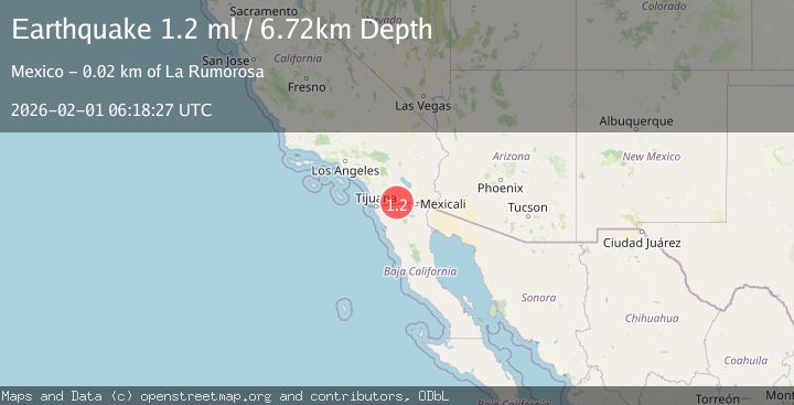
A 1.2 magnitude earthquake struck on 10 km WSW of Pine Valley, CA, at Sun, 01 Feb 2026 06:15:05 GMT. Depth: 17.8999996185303km. Reviewed by USGS seismologists, this minor quake occurred at a magnitude type of ml.
Magnitude
1.2
ml
Source
USGS
Intensity
-
Agency Reports
1 Sources| Source | Magnitude | Depth | Time |
|---|---|---|---|
| USGSPrimary | 1.2 | 7 km | 5 days ago |
Earthquake Details
AutomaticEvent IDusgs_ci41177519
Tsunami PotentialNo
Magnitude Typeml
Nearest Places
- Carl Spring0.8 km
- Ajax Prospect1.1 km
- Laguna-Pine Valley1.3 km
- Horsethief Ridge Trail1.5 km
- Nelson Canyon2.5 km
Comments
Join the discussion about this event.
Latest Earthquakes
2.7Mag
South of Java, Indonesia
Time4 minutes ago
Depth5.00 km
SourceBMKG (Automatic)
0.8Mag
62 km WNW of Anchor Point, Alaska
Time4 minutes ago
Depth143.00 km
SourceUSGS (Automatic)
1.8Mag
100 km N of Yakutat, Alaska
Time13 minutes ago
Depth1.00 km
SourceUSGS
1.9Mag
53 km W of Mentone, Texas
Time19 minutes ago
Depth3.83 km
SourceUSGS (Automatic)
2.9Mag
200 km SSE of Akutan, Alaska
Time22 minutes ago
Depth2.00 km
SourceUSGS
Nearby Earthquakes
1.4Mag
10 km WSW of Pine Valley, CA
Time2 weeks ago
Depth18.80 km
SourceUSGS (Automatic)
1.2Mag
10 km W of Pine Valley, CA
Time2 hours ago
Depth17.65 km
SourceUSGS (Automatic)
1.3Mag
10 km W of Pine Valley, CA
Time2 weeks ago
Depth18.73 km
SourceUSGS (Automatic)
1.4Mag
10 km W of Pine Valley, CA
Time1 week ago
Depth17.79 km
SourceUSGS (Automatic)
1.8Mag
10 km W of Pine Valley, CA
Time2 weeks ago
Depth17.24 km
SourceUSGS (Automatic)