Earthquake 62 km WNW of Anchor Point, Alaska
Sat, 07 Feb 2026 02:11:51 GMT
Time1 hour ago
Location
59.9300, -152.9000
Depth
143.0 KM
Event Summary
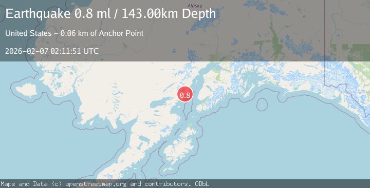
A 0.8 magnitude earthquake struck on 62 km WNW of Anchor Point, Alaska, at Sat, 07 Feb 2026 02:11:51 GMT. Depth: 143km. Reviewed by USGS seismologists, this minor quake occurred at a magnitude type of ml.
Magnitude
0.8
ml
Source
USGS
Intensity
-
Agency Reports
1 Sources| Source | Magnitude | Depth | Time |
|---|---|---|---|
| USGSPrimary | 0.8 | 143 km | 1 hour ago |
Earthquake Details
AutomaticEvent IDusgs_ak2026cqcghm
Tsunami PotentialNo
Magnitude Typeml
Nearest Places
- Hickerson Lake1.4 km
- Boulder Creek3.7 km
- East Glacier Creek5.5 km
- Blue Lake5.6 km
- Spring Lakes5.7 km
Comments
Join the discussion about this event.
Latest Earthquakes
2.2Mag
SPAIN
Time8 minutes ago
Depth3.90 km
SourceIGN (Automatic)
3.3Mag
HOKKAIDO, JAPAN REGION
Time18 minutes ago
Depth0.00 km
SourceJMA (Automatic)
1.8Mag
14 km W of Petrolia, CA
Time22 minutes ago
Depth12.39 km
SourceUSGS (Automatic)
2.3Mag
PORTUGAL
Time23 minutes ago
Depth2.00 km
SourceIPMA (Automatic)
2.0Mag
47 km NNE of Chase, Alaska
Time25 minutes ago
Depth0.50 km
SourceUSGS (Automatic)
Nearby Earthquakes
1.9Mag
64 km WNW of Anchor Point, Alaska
Time2 weeks ago
Depth114.20 km
SourceUSGS (Automatic)
2.2Mag
61 km E of Pedro Bay, Alaska
Time6 days ago
Depth102.90 km
SourceUSGS (Automatic)
2.2Mag
52 km WNW of Anchor Point, Alaska
Time1 week ago
Depth101.30 km
SourceUSGS (Automatic)
2.3Mag
57 km E of Pedro Bay, Alaska
Time1 week ago
Depth120.40 km
SourceUSGS (Automatic)
2.2Mag
61 km W of Anchor Point, Alaska
Time1 week ago
Depth97.80 km
SourceUSGS (Automatic)